Transport Functions
Rail
Road
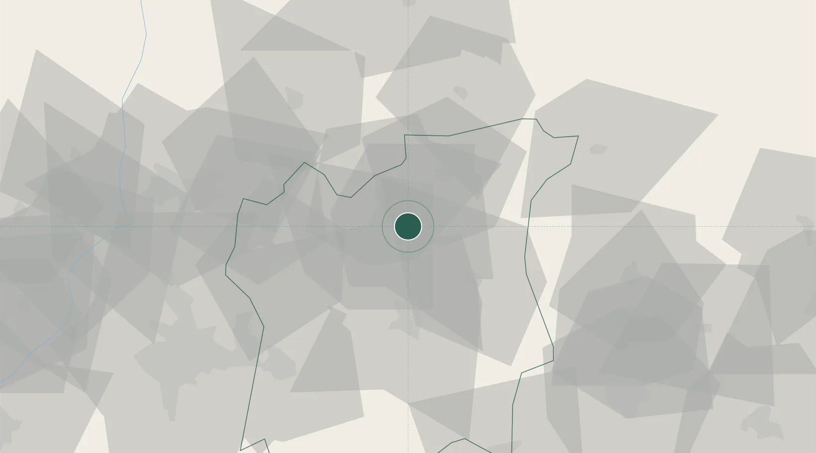
Hub Profile
Place type
Regional capital
Region
Osun State
Population
645,000
Time zone
Africa/Lagos
Elevation
336 m
Location
Nearby Logistics Neighbours
Ports
- 1Lagos199 km
- 2Tin Can Island207 km
- 3Koko220 km
- 4Ukpokiti Marine Terminal228 km
- 5Sapele241 km
Airports
- 1General Tunde Idiagbon International Airport75 km
- 2Ibadan Airport79 km
- 3Akure Airport100 km
- 4Murtala Muhammed International Airport191 km
- 5Benin Airport197 km
Trade Zones
DatabookThe Record of Consolidated Knowledge
Nigeria beyond logistics?