Medium airport · Nigeria
Ibadan AirportDNIB
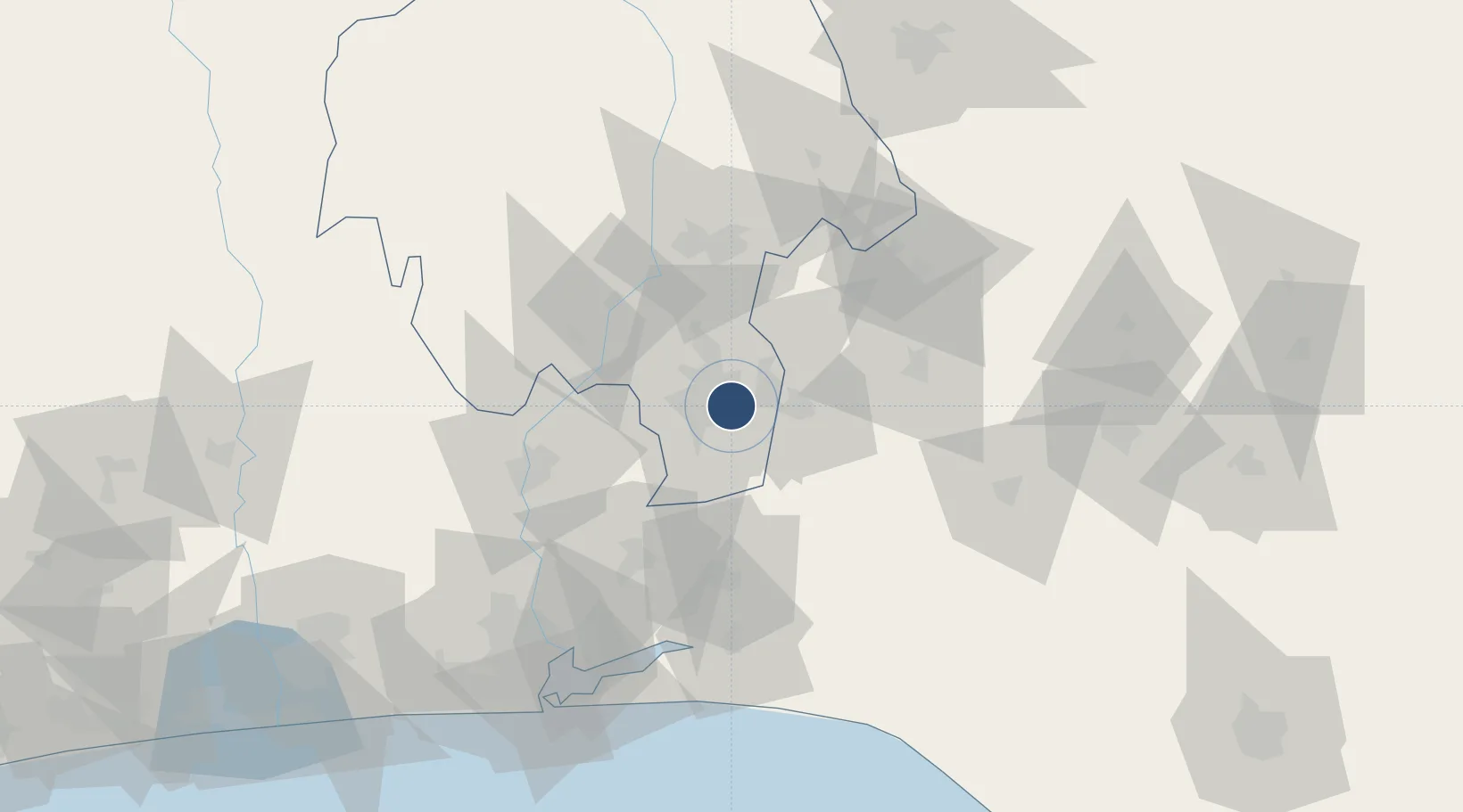
7.3625°, 3.9783°
7,875 ft
Longest runway
1
Runways
725 ft
Elevation
Runway & Layout

Radio Frequencies
TWR
122.6 MHz
Navaids
IB NDB Ibadan 400 kHz
IBA VOR-DME Ibadan 112.10 MHz
IN NDB Ibadan 310 kHz
Runways · 1
| Runway | Dimensions | Surface | True heading | Lit |
|---|---|---|---|---|
| 05/23 | 7,875 × 147ft | Asphalt | 040° | ✓ |
Airport Specifications
IATA code
IBA
ICAO code
DNIB
Airport class
Medium airport
Scheduled service
Yes
Runway surface
Asphalt
Served city
Ibadan
Location
Nearby Logistics Neighbours
Airports
Ports
- 1Lagos125 km
- 2Tin Can Island132 km
- 3Ukpokiti Marine Terminal204 km
- 4Cotonou204 km
- 5Koko224 km
Trade Zones
DatabookThe Record of Consolidated Knowledge
Nigeria beyond logistics?