Export Processing Zone · Nigeria

Kajola Specialized Railway Industrial Free Zone Inactive
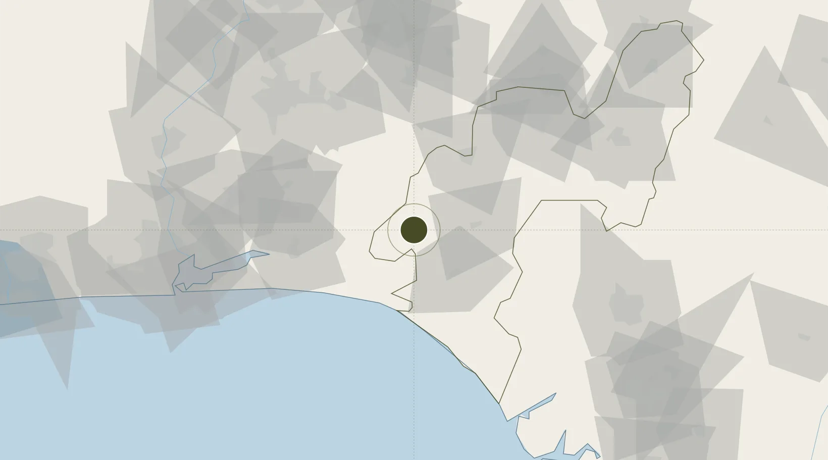
6.7237°, 4.5787°
329 ha
Zone area
113.7 km
Nearest port
97.1 km
Nearest airport

Gateway access

Nearest neighbours — logibook spatial index (haversine) over the source coordinates

Zone profile

Zone type
Export Processing Zone
Open Zone Map
Region
Ondo
Open Zone Map
Status
Inactive
Open Zone Map
Management
Public
Open Zone Map
Operator
Nigerian Export Processing Zones Authority
Open Zone Map
Legal framework
Section 10 (4) of the Nigeria Export Processing Zones Act No 63 of 1992
Open Zone Map

Location

Location of ozm-2961
Natural Earth 10m (public domain) · Ondo · ozm-2961 · 6.72, 4.58GoogleOSMYandex

Nearby Logistics Neighbours

Ports
  1. 1Ukpokiti Marine Terminal114 km
  2. 2Koko127 km
  3. 3Lagos135 km
  4. 4Tin Can Island142 km
  5. 5Escravos Oil Terminal144 km
Nearest neighbours — logibook spatial index (haversine) over the source coordinates
Airports
  1. 1Ibadan Airport97 km
  2. 2Akure Airport99 km
  3. 3Benin Airport122 km
  4. 4Murtala Muhammed International Airport140 km
  5. 5Warri Airport186 km
Nearest neighbours — logibook spatial index (haversine) over the source coordinates
Cities
  1. 1Olorunsogo47 km
  2. 2Ondo50 km
  3. 3Ibeju - Lekki71 km
  4. 4Egbeda92 km
  5. 5Alaba95 km
Nearest neighbours — logibook spatial index (haversine) over the source coordinates
Trade Zones
  1. 1Ore Industrial Park (Ondo Industrial City)17 km
  2. 2Olokola Free Trade Zone44 km
  3. 3Lagos Free Trade Zone60 km
  4. 4Lekki Free Zone71 km
  5. 5Lekki Free Trade Zone75 km
Nearest neighbours — logibook spatial index (haversine) over the source coordinates
DatabookThe Record of Consolidated Knowledge
Nigeria beyond logistics?
Browse databook

All Sources

Trade ZonesOpen Zone Map
CC BY
Portsthe NGA World Port Index
Public domain (US gov)
AirportsOurAirports
Public domain
LocationsUN/LOCODE
UN/LOCODE — free
← Nigeria trade zones