Medium airport · Namibia
Arandis AirportFYAR
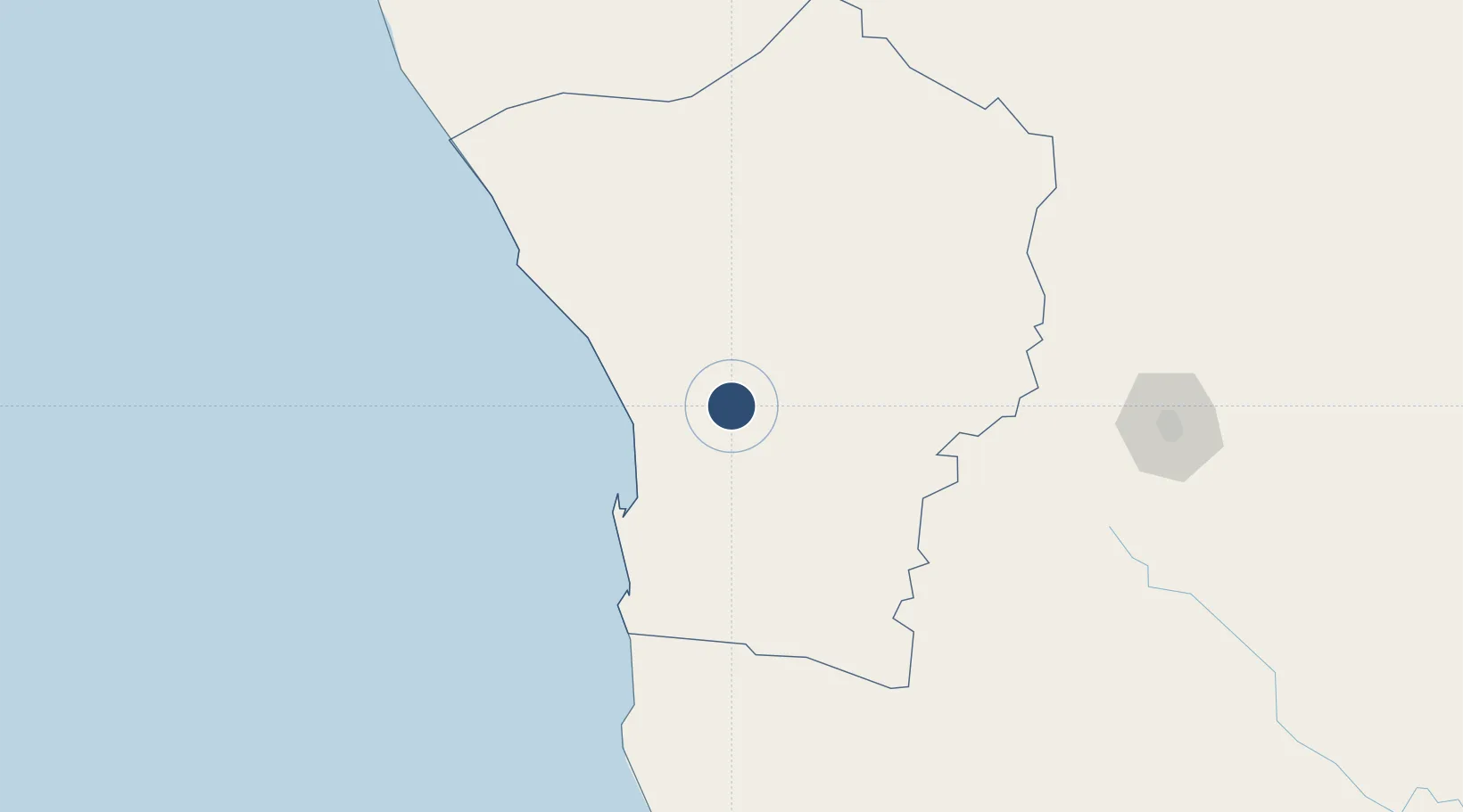
-22.4619°, 14.9793°
6,300 ft
Longest runway
1
Runways
1,905 ft
Elevation
Runway & Layout

Radio Frequencies
A/G
123.5 MHz
A/G VOICE RDO
Navaids
AD NDB Arandis 328 kHz
Runways · 1
| Runway | Dimensions | Surface | True heading | Lit |
|---|---|---|---|---|
| 10/28 | 6,300 × 66ft | Asphalt | 081° | ✓ |
Airport Specifications
IATA code
ADI
ICAO code
FYAR
Airport class
Medium airport
Scheduled service
No
Runway surface
Asphalt
Served city
Arandis
Location
Nearby Logistics Neighbours
Airports
- 1Walvis Bay International Airport67 km
- 2Eros Airport216 km
- 3Hosea Kutako International Airport256 km
- 4Mariental Airport383 km
- 5Halali Airport412 km
Cities
- 1Walvis Bay73 km
- 2Okahandja206 km
- 3Maltahohe334 km
- 4Lüderitz465 km
- 5Ruacana563 km
Ports
- 1Walvis Bay73 km
- 2Luderitz Bay466 km
- 3Namibe861 km
- 4Lobito1136 km
- 5Saldanha Bay1212 km
Trade Zones
DatabookThe Record of Consolidated Knowledge
Namibia beyond logistics?