Large airport · Namibia

Walvis Bay International AirportFYWB
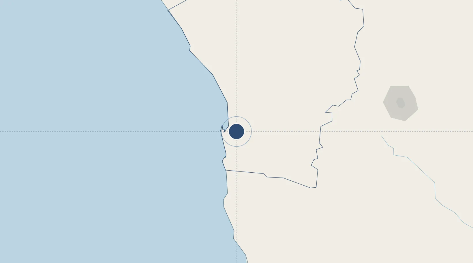
-22.9793°, 14.6471°
11,483 ft
Longest runway
1
Runways
299 ft
Elevation

Runway & Layout

Walvis Bay International Airport runway & taxiway layout
Runway & taxiway layout — OpenStreetMap (ODbL) / OurAirports

Radio Frequencies

TWR
122.5 MHz
APP
122.5 MHz
OurAirports

Navaids

WB NDB Walvis Bay 225 kHz
WBV VOR-DME Walvis Bay 113.60 MHz
OurAirports

Runways · 1

RunwayDimensions SurfaceTrue headingLit
09/27 11,483 × 196ft Asphalt 072°
OurAirports

Airport Specifications

IATA code
WVB
OurAirports
ICAO code
FYWB
OurAirports
Airport class
Large airport
OurAirports
Scheduled service
Yes
OurAirports
Runway surface
Asphalt
OurAirports
Served city
Walvis Bay(Rooikop)
OurAirports

Location

Location of FYWB
Natural Earth 10m (public domain) · Erongo · FYWB · -22.98, 14.65GoogleOSMYandex

Nearby Logistics Neighbours

Airports
  1. 1Arandis Airport67 km
  2. 2Eros Airport253 km
  3. 3Hosea Kutako International Airport295 km
  4. 4Mariental Airport379 km
  5. 5Luderitz Airport417 km
Nearest neighbours — logibook spatial index (haversine) over the source coordinates
Cities
  1. 1Walvis Bay15 km
  2. 2Okahandja258 km
  3. 3Maltahohe315 km
  4. 4Lüderitz410 km
  5. 5Ruacana618 km
Nearest neighbours — logibook spatial index (haversine) over the source coordinates
Ports
  1. 1Walvis Bay15 km
  2. 2Luderitz Bay411 km
  3. 3Namibe904 km
  4. 4Saldanha Bay1164 km
  5. 5Lobito1189 km
Nearest neighbours — logibook spatial index (haversine) over the source coordinates
Trade Zones
  1. 1Walvis Bay (Nara Namib) Export Processing Zone16 km
  2. 2Namakwa (Nama-Khoi) Special Economic Zone817 km
  3. 3Upington Special Economic Zone896 km
  4. 4Lobatse Special Economic Zone1147 km
  5. 5Sir Seretse Khama Intl Airport Zone1160 km
Nearest neighbours — logibook spatial index (haversine) over the source coordinates
DatabookThe Record of Consolidated Knowledge
Namibia beyond logistics?
Browse databook

All Sources

AirportsOurAirports
Public domain
Portsthe NGA World Port Index
Public domain (US gov)
LocationsUN/LOCODE
UN/LOCODE — free
Trade Zonesthe World Bank SEZ database
CC BY 4.0
Trade ZonesOpen Zone Map
CC BY
InfrastructureOpenStreetMap
ODbL 1.0
← Namibia airports