Transport Functions
Port
Multimodal
Hub Profile
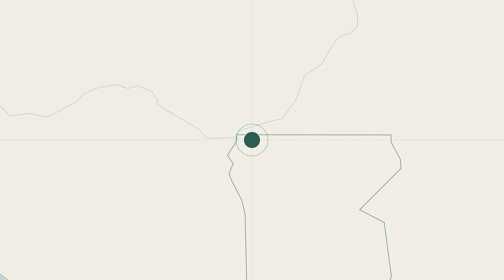
Place type
Populated place
Region
Kunene Region
Population
3,537
Time zone
Africa/Windhoek
Elevation
1,138 m
Location
Nearby Logistics Neighbours
Cities
- 1Oshikango163 km
- 2Baía dos Tigres293 km
- 3Porto Saco (Portosalazar)348 km
- 4Baba367 km
- 5River Sao Nicolau415 km
Ports
- 1Namibe342 km
- 2Lobito573 km
- 3Walvis Bay614 km
- 4Sumbe695 km
- 5Porto Amboim748 km
Airports
- 1Xangongo Airport100 km
- 2Ngjiva Pereira Airport148 km
- 3Ondangwa Airport177 km
- 4Halali Airport285 km
- 5Lubango Mukanka International Airport291 km
Trade Zones
DatabookThe Record of Consolidated Knowledge
Namibia beyond logistics?