Large airport · Namibia

Hosea Kutako International AirportFYWH
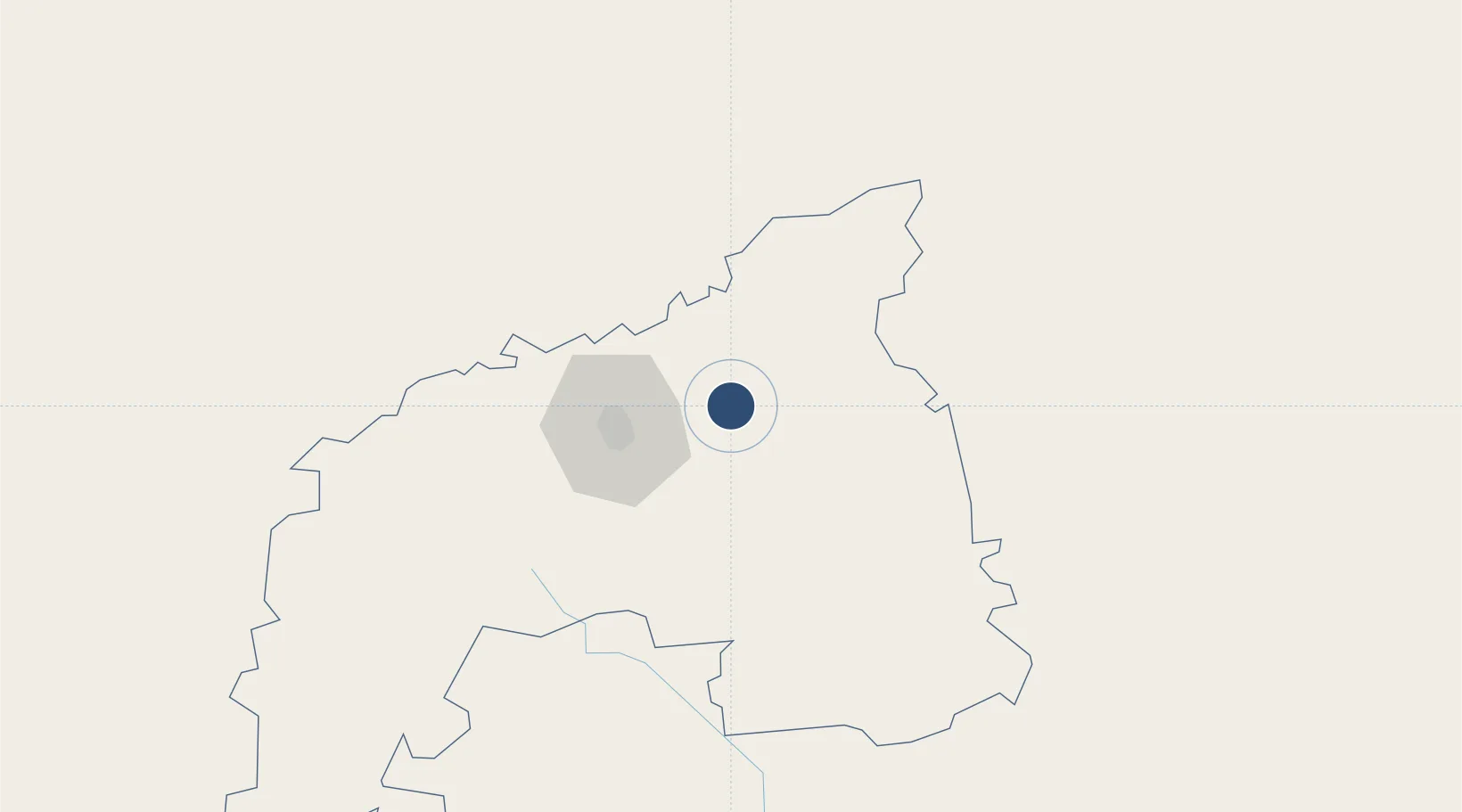
-22.4799°, 17.4709°
15,010 ft
Longest runway
2
Runways
5,640 ft
Elevation

Runway & Layout

Hosea Kutako International Airport runway & taxiway layout
Runway & taxiway layout — OpenStreetMap (ODbL) / OurAirports

Radio Frequencies

ATIS
114.1 MHz
TWR
118.1 MHz
WINDHOEK TWR
APP
120.5 MHz
WINDHOEK APP
GTE
121.9 MHz
APRON
OurAirports

Navaids

WH NDB Windhoek 280 kHz
WHV VOR-DME Windhoek 114.50 MHz
OurAirports

Runways · 2

RunwayDimensions SurfaceTrue headingLit
08/26 15,010 × 148ft Asphalt 064°
16/34 5,000 × 98ft Asphalt 141°
OurAirports

Airport Specifications

IATA code
WDH
OurAirports
ICAO code
FYWH
OurAirports
Airport class
Large airport
OurAirports
Scheduled service
Yes
OurAirports
Runway surface
Asphalt
OurAirports
Served city
Windhoek
OurAirports

Location

Location of FYWH
Natural Earth 10m (public domain) · Khomas · FYWH · -22.48, 17.47GoogleOSMYandex

Nearby Logistics Neighbours

Airports
  1. 1Eros Airport43 km
  2. 2Mariental Airport241 km
  3. 3Arandis Airport256 km
  4. 4Walvis Bay International Airport295 km
  5. 5Grootfontein Airport327 km
Nearest neighbours — logibook spatial index (haversine) over the source coordinates
Cities
  1. 1Okahandja79 km
  2. 2Maltahohe266 km
  3. 3Walvis Bay308 km
  4. 4Lüderitz519 km
  5. 5Oshikango589 km
Nearest neighbours — logibook spatial index (haversine) over the source coordinates
Ports
  1. 1Walvis Bay309 km
  2. 2Luderitz Bay520 km
  3. 3Namibe984 km
  4. 4Saldanha Bay1175 km
  5. 5Lobito1202 km
Nearest neighbours — logibook spatial index (haversine) over the source coordinates
Trade Zones
  1. 1Walvis Bay (Nara Namib) Export Processing Zone310 km
  2. 2Upington Special Economic Zone762 km
  3. 3Namakwa (Nama-Khoi) Special Economic Zone764 km
  4. 4Lobatse Special Economic Zone888 km
  5. 5Sir Seretse Khama Intl Airport Zone892 km
Nearest neighbours — logibook spatial index (haversine) over the source coordinates
DatabookThe Record of Consolidated Knowledge
Namibia beyond logistics?
Browse databook

All Sources

AirportsOurAirports
Public domain
Portsthe NGA World Port Index
Public domain (US gov)
LocationsUN/LOCODE
UN/LOCODE — free
Trade Zonesthe World Bank SEZ database
CC BY 4.0
Trade ZonesOpen Zone Map
CC BY
InfrastructureOpenStreetMap
ODbL 1.0
← Namibia airports