Transport Functions
Port
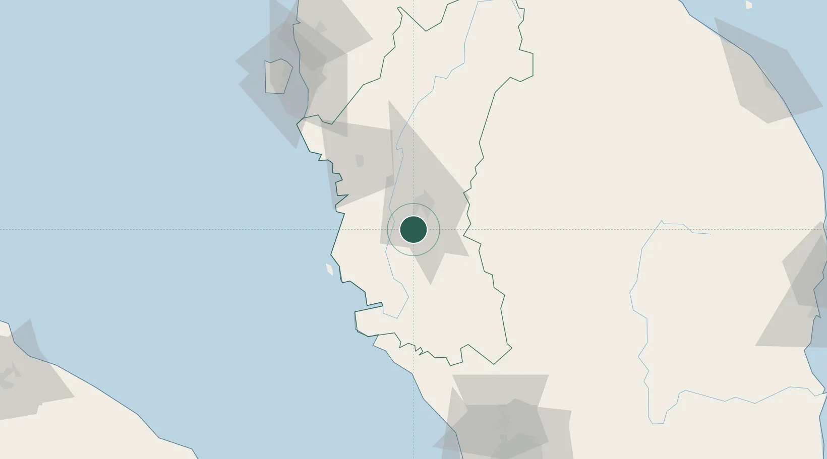
Hub Profile
Place type
Populated place
Region
Perak
Population
46,183
Time zone
Asia/Kuala_Lumpur
Elevation
31 m
Location
Nearby Logistics Neighbours
Cities
- 1Teronoh9 km
- 2Lahat9 km
- 3Menglembu11 km
- 4Kampong Tasek21 km
- 5Falim32 km
Ports
- 1Teluk Anson50 km
- 2Lumut53 km
- 3Pulau Pinang131 km
- 4Port Klang168 km
- 5Kuala Tanjung213 km
Airports
- 1Sultan Azlan Shah Airport12 km
- 2Pulau Pangkor Airport60 km
- 3Penang International Airport126 km
- 4RMAF Butterworth Air Base133 km
- 5Betong International Airport148 km
Trade Zones
- 1Jelapang Ii17 km
- 2Kinta Free Industrial Zone24 km
- 3Northern Corridor Economic Region114 km
- 4Kulim Hi-Tech Free Zone118 km
- 5Bayan Lepas Free Zone126 km
DatabookThe Record of Consolidated Knowledge
Malaysia beyond logistics?