Transport Functions
Multimodal
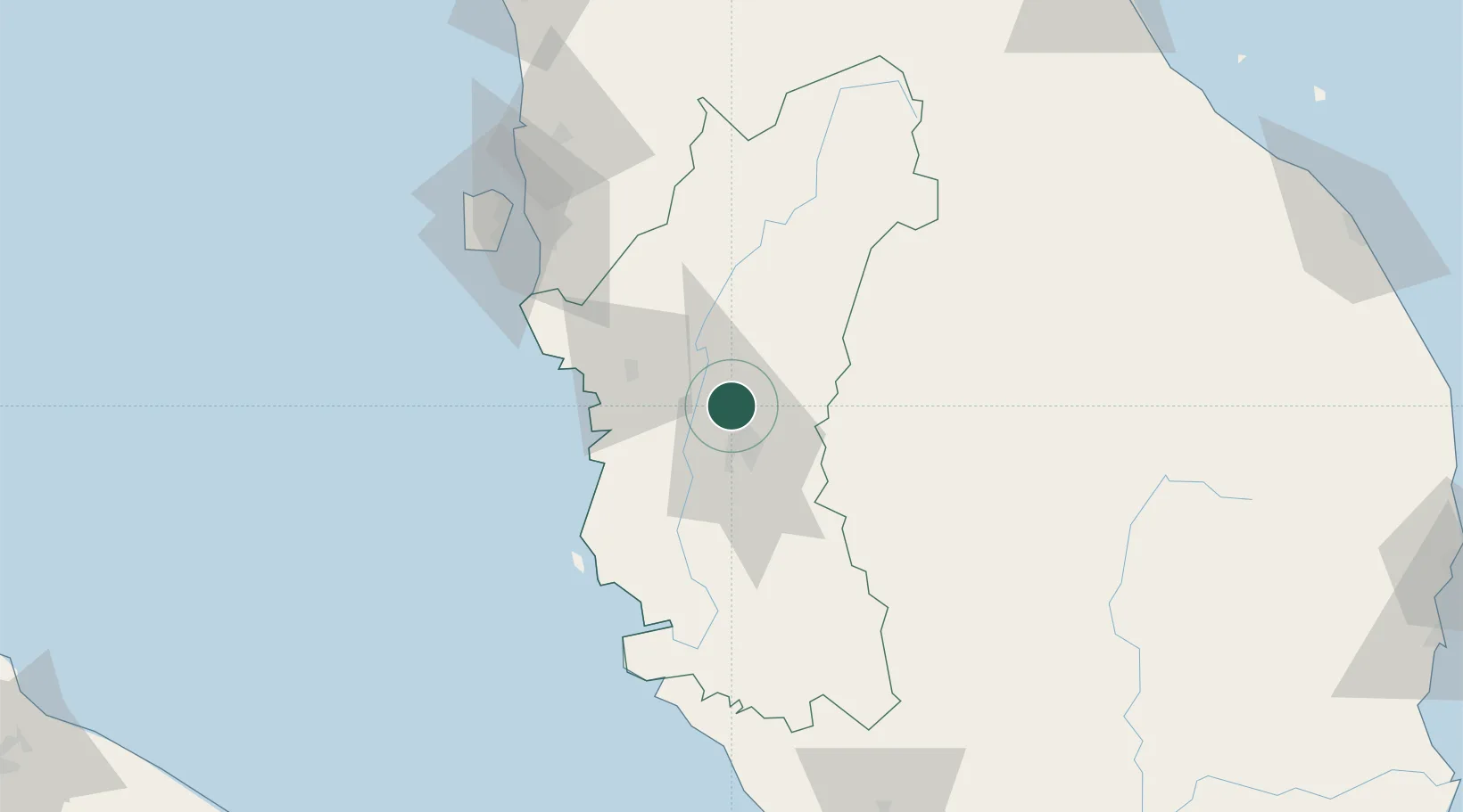
Hub Profile
Place type
Populated place
Region
Perak
Time zone
Asia/Kuala_Lumpur
Elevation
538 m
Location
Nearby Logistics Neighbours
Cities
- 1Kampong Tasek12 km
- 2Menglembu21 km
- 3Lahat23 km
- 4Batu Gajah32 km
- 5Teronoh38 km
Ports
- 1Lumut75 km
- 2Teluk Anson82 km
- 3Pulau Pinang109 km
- 4Port Klang198 km
- 5Kuala Tanjung234 km
Airports
- 1Sultan Azlan Shah Airport21 km
- 2Pulau Pangkor Airport80 km
- 3Penang International Airport107 km
- 4RMAF Butterworth Air Base109 km
- 5Betong International Airport116 km
Trade Zones
DatabookThe Record of Consolidated Knowledge
Malaysia beyond logistics?