Transport Functions
Port
Multimodal
Hub Profile
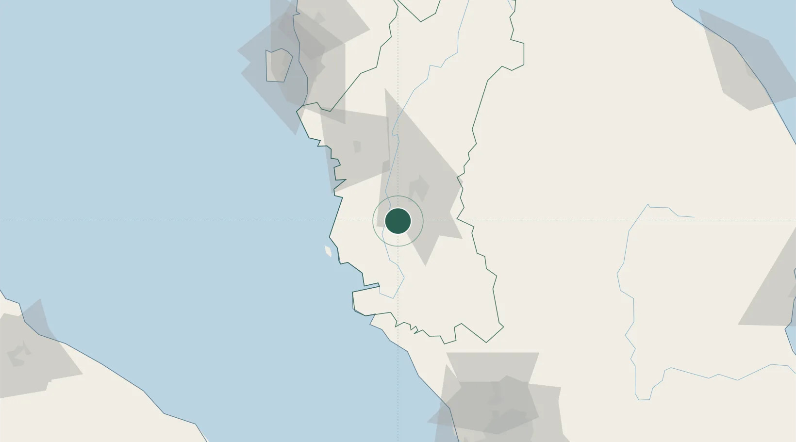
Place type
Populated place
Region
Perak
Time zone
Asia/Kuala_Lumpur
Elevation
35 m
Location
Nearby Logistics Neighbours
Cities
- 1Batu Gajah9 km
- 2Lahat16 km
- 3Menglembu18 km
- 4Kampong Tasek29 km
- 5Simpang Lima38 km
Ports
- 1Lumut44 km
- 2Teluk Anson45 km
- 3Pulau Pinang132 km
- 4Port Klang164 km
- 5Kuala Tanjung203 km
Airports
- 1Sultan Azlan Shah Airport21 km
- 2Pulau Pangkor Airport51 km
- 3Penang International Airport125 km
- 4RMAF Butterworth Air Base134 km
- 5Betong International Airport154 km
Trade Zones
- 1Jelapang Ii24 km
- 2Kinta Free Industrial Zone32 km
- 3Northern Corridor Economic Region115 km
- 4Kulim Hi-Tech Free Zone121 km
- 5Bayan Lepas Free Zone125 km
DatabookThe Record of Consolidated Knowledge
Malaysia beyond logistics?