Medium airport · Malaysia

RMAF Butterworth Air BaseWMKB
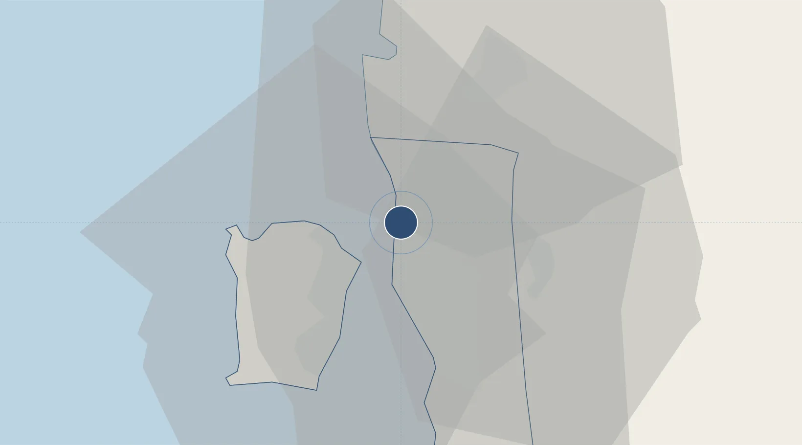
5.4659°, 100.3910°
8,000 ft
Longest runway
1
Runways
11 ft
Elevation

Runway & Layout

RMAF Butterworth Air Base runway & taxiway layout
Runway & taxiway layout — OpenStreetMap (ODbL) / OurAirports

Radio Frequencies

ATIS
23.01 MHz
TWR
118.3 MHz
GND
134.6 MHz
APP
125.8 MHz
DEP
128.5 MHz
OurAirports

Navaids

BTR TACAN Butterworth 113.50 MHz
VBT VORTAC Butterworth 113.30 MHz
OurAirports

Runways · 1

RunwayDimensions SurfaceTrue headingLit
18/36 8,000 × 150ft Asphalt 184°
OurAirports

Airport Specifications

IATA code
BWH
OurAirports
ICAO code
WMKB
OurAirports
Airport class
Medium airport
OurAirports
Scheduled service
No
OurAirports
Runway surface
Asphalt
OurAirports
Served city
Butterworth
OurAirports

Location

Location of WMKB
Natural Earth 10m (public domain) · Pulau Pinang · WMKB · 5.47, 100.39GoogleOSMYandex

Nearby Logistics Neighbours

Airports
  1. 1Penang International Airport23 km
  2. 2Sultan Abdul Halim Airport81 km
  3. 3Betong International Airport91 km
  4. 4Langkawi International Airport121 km
  5. 5Sultan Azlan Shah Airport127 km
Nearest neighbours — logibook spatial index (haversine) over the source coordinates
Cities
  1. 1Penang (Georgetown)3 km
  2. 2Butterworth5 km
  3. 3George Town8 km
  4. 4Pulau Tikus9 km
  5. 5Perai9 km
Nearest neighbours — logibook spatial index (haversine) over the source coordinates
Ports
  1. 1Pulau Pinang7 km
  2. 2Port Langkawi128 km
  3. 3Lumut140 km
  4. 4Teluk Anson175 km
  5. 5Pattani193 km
Nearest neighbours — logibook spatial index (haversine) over the source coordinates
Trade Zones
  1. 1Butterworth Free Commercial Zone8 km
  2. 2Northern Corridor Economic Region20 km
  3. 3Bayan Lepas Free Zone21 km
  4. 4Bayan Lepas Free Commercial Zone22 km
  5. 5Perai Free Industrial Zone22 km
Nearest neighbours — logibook spatial index (haversine) over the source coordinates
DatabookThe Record of Consolidated Knowledge
Malaysia beyond logistics?
Browse databook

All Sources

AirportsOurAirports
Public domain
Portsthe NGA World Port Index
Public domain (US gov)
LocationsUN/LOCODE
UN/LOCODE — free
Trade Zonesthe World Bank SEZ database
CC BY 4.0
Trade ZonesOpen Zone Map
CC BY
InfrastructureOpenStreetMap
ODbL 1.0
← Malaysia airports