UN/LOCODE hub · Malaysia
MYTAE

Kampong Tasek

4.6500°, 101.1000°
2
Transport functions

Transport Functions

Rail
Road
UN/LOCODE

Hub Profile

Place type
Populated place
GeoNames
Region
Kelantan
GeoNames
Time zone
Asia/Kuala_Lumpur
GeoNames
Elevation
11 m
GeoNames

Location

Location of MYTAE
Natural Earth 10m (public domain) · Kelantan · MYTAE · 4.65, 101.10GoogleOSMYandex

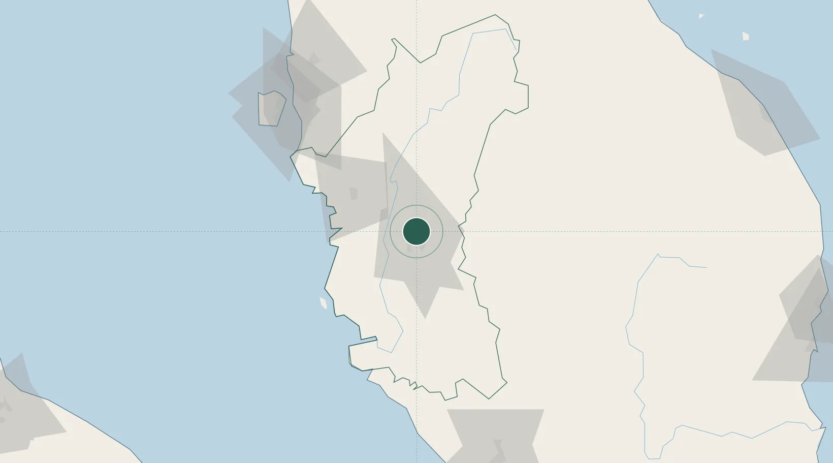
Nearby Logistics Neighbours

Cities
  1. 1Falim12 km
  2. 2Menglembu12 km
  3. 3Lahat13 km
  4. 4Batu Gajah21 km
  5. 5Teronoh29 km
Nearest neighbours — logibook spatial index (haversine) over the source coordinates
Ports
  1. 1Lumut69 km
  2. 2Teluk Anson71 km
  3. 3Pulau Pinang119 km
  4. 4Port Klang187 km
  5. 5Kuala Tanjung229 km
Nearest neighbours — logibook spatial index (haversine) over the source coordinates
Airports
  1. 1Sultan Azlan Shah Airport9 km
  2. 2Pulau Pangkor Airport76 km
  3. 3Penang International Airport116 km
  4. 4RMAF Butterworth Air Base120 km
  5. 5Betong International Airport127 km
Nearest neighbours — logibook spatial index (haversine) over the source coordinates
Trade Zones
  1. 1Kinta Free Industrial Zone4 km
  2. 2Jelapang Ii7 km
  3. 3Northern Corridor Economic Region102 km
  4. 4Kulim Hi-Tech Free Zone103 km
  5. 5Luckchai Rubber City Industrial Estate112 km
Nearest neighbours — logibook spatial index (haversine) over the source coordinates
DatabookThe Record of Consolidated Knowledge
Malaysia beyond logistics?
Browse databook

All Sources

LocationsUN/LOCODE
UN/LOCODE — free
Portsthe NGA World Port Index
Public domain (US gov)
AirportsOurAirports
Public domain
Trade Zonesthe World Bank SEZ database
CC BY 4.0
Trade ZonesOpen Zone Map
CC BY
← Malaysia locations