Free Zone · Malaysia

Kulim Hi-Tech Free Zone Active
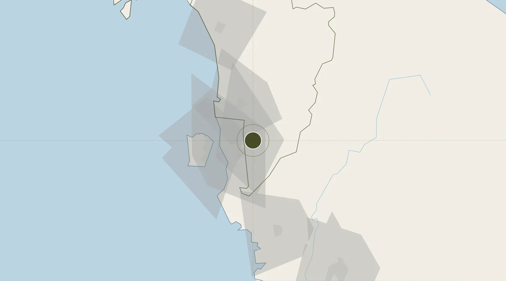
5.4251°, 100.5864°
1,825 ha
Zone area
26.2 km
Nearest port
22.1 km
Nearest airport

Gateway access

Nearest neighbours — logibook spatial index (haversine) over the source coordinates

Zone profile

Zone type
Free Zone
the World Bank SEZ database
Specialization
Tech
the World Bank SEZ database
Region
Kedah
the World Bank SEZ database
Status
Active
the World Bank SEZ database
Established
1996
the World Bank SEZ database
Management
State-owned enterprise
the World Bank SEZ database
Operator
Kedah State Development Corporation
the World Bank SEZ database
Regulatory authority
Ministry of International Trade and Industry
the World Bank SEZ database
Legal framework
Free Zones Act
the World Bank SEZ database

Location

Location of MYS1
Natural Earth 10m (public domain) · Kedah · MYS1 · 5.43, 100.59GoogleOSMYandex

Fiscal & incentives

Corporate tax
24%
the World Bank SEZ database
Tax relief
No exemption
the World Bank SEZ database
Relief duration
No exemption
the World Bank SEZ database
VAT
No exemption
the World Bank SEZ database
Import duty (inputs)
100% exempt
the World Bank SEZ database
Import duty (capex)
100% exempt
the World Bank SEZ database
Profit repatriation
100% exempt from repatriation tax on earnings
the World Bank SEZ database
Capital gains
No exemption
the World Bank SEZ database
Withholding tax
No exemption
the World Bank SEZ database
Min. investment
None
the World Bank SEZ database
Min. export
80%
the World Bank SEZ database
Employment incentive
No exemption
the World Bank SEZ database
Developer incentive
No established framework
the World Bank SEZ database

Nearby Logistics Neighbours

Ports
  1. 1Pulau Pinang26 km
  2. 2Lumut133 km
  3. 3Port Langkawi144 km
  4. 4Teluk Anson164 km
  5. 5Pattani187 km
Nearest neighbours — logibook spatial index (haversine) over the source coordinates
Airports
  1. 1RMAF Butterworth Air Base22 km
  2. 2Penang International Airport37 km
  3. 3Betong International Airport74 km
  4. 4Sultan Abdul Halim Airport88 km
  5. 5Sultan Azlan Shah Airport111 km
Nearest neighbours — logibook spatial index (haversine) over the source coordinates
Cities
  1. 1Prai20 km
  2. 2Butterworth21 km
  3. 3Perai24 km
  4. 4Penang (Georgetown)24 km
  5. 5Sungai Bakap25 km
Nearest neighbours — logibook spatial index (haversine) over the source coordinates
Trade Zones
  1. 1Northern Corridor Economic Region21 km
  2. 2Butterworth Free Commercial Zone24 km
  3. 3Bayan Lepas Free Zone35 km
  4. 4Bayan Lepas Free Commercial Zone37 km
  5. 5Perai Free Industrial Zone37 km
Nearest neighbours — logibook spatial index (haversine) over the source coordinates
DatabookThe Record of Consolidated Knowledge
Malaysia beyond logistics?
Browse databook

All Sources

Trade Zonesthe World Bank SEZ database
CC BY 4.0
Portsthe NGA World Port Index
Public domain (US gov)
AirportsOurAirports
Public domain
LocationsUN/LOCODE
UN/LOCODE — free
← Malaysia trade zones