Medium airport · Thailand

Betong International AirportBTZ
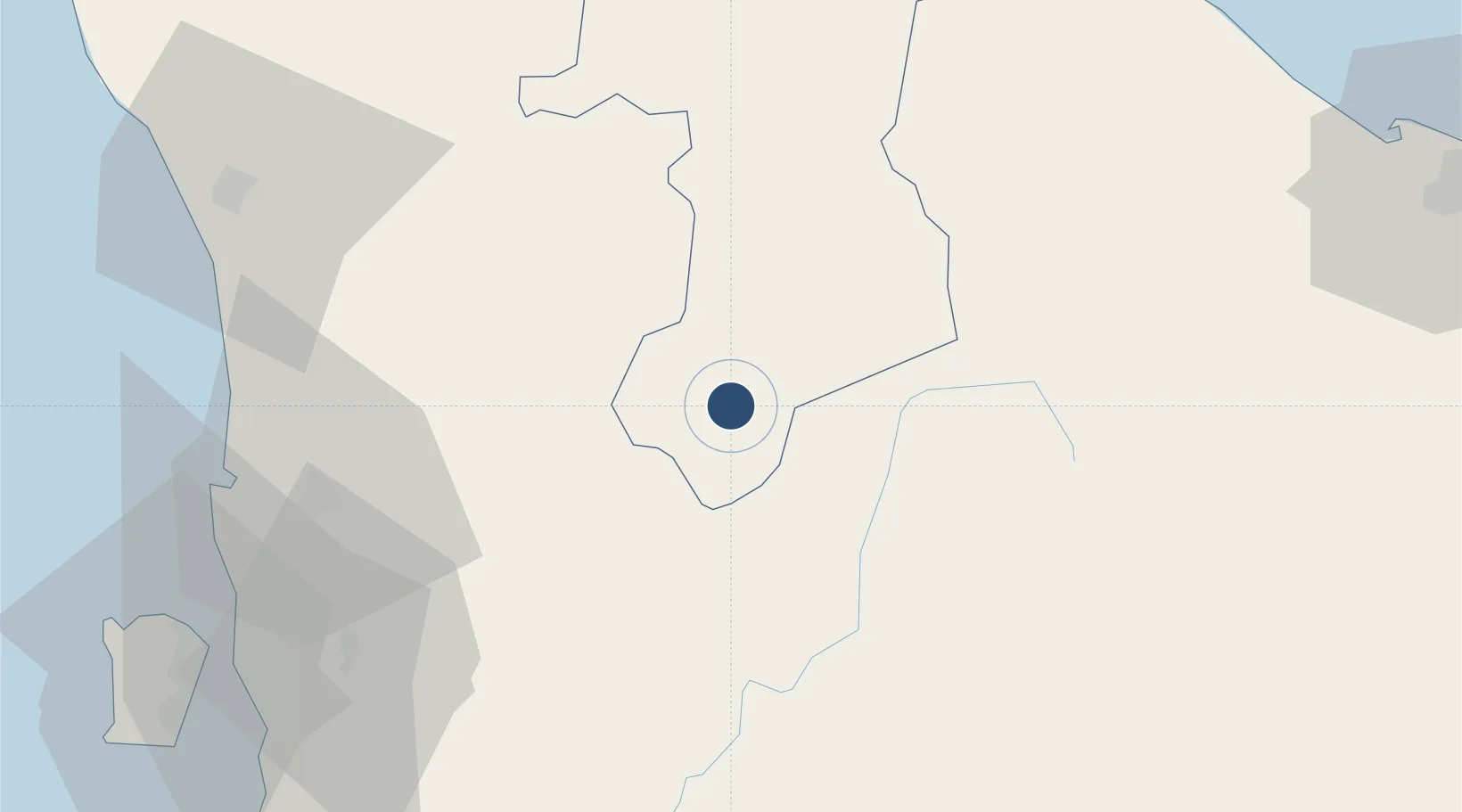
5.7900°, 101.1500°
5,906 ft
Longest runway
1
Runways
785 ft
Elevation

Runway & Layout

Betong International Airport runway & taxiway layout
Runway & taxiway layout — OpenStreetMap (ODbL) / OurAirports

Runways · 1

RunwayDimensions SurfaceTrue headingLit
5,906 × —ft
OurAirports

Airport Specifications

IATA code
BTZ
OurAirports
ICAO code
VTSY
OurAirports
Airport class
Medium airport
OurAirports
Scheduled service
No
OurAirports
Served city
Betong
OurAirports

Location

Location of BTZ
Natural Earth 10m (public domain) · Yala · BTZ · 5.79, 101.15GoogleOSMYandex

Nearby Logistics Neighbours

Airports
  1. 1RMAF Butterworth Air Base91 km
  2. 2Sultan Abdul Halim Airport94 km
  3. 3Narathiwat Airport104 km
  4. 4Pattani Airport111 km
  5. 5Penang International Airport111 km
Nearest neighbours — logibook spatial index (haversine) over the source coordinates
Cities
  1. 1Kelang Baharu64 km
  2. 2Bedong71 km
  3. 3Sungai Petani76 km
  4. 4Merbok82 km
  5. 5Ban Prakop Customs House89 km
Nearest neighbours — logibook spatial index (haversine) over the source coordinates
Ports
  1. 1Pulau Pinang98 km
  2. 2Pattani130 km
  3. 3Port Langkawi169 km
  4. 4Songkhla Harbor171 km
  5. 5Lumut182 km
Nearest neighbours — logibook spatial index (haversine) over the source coordinates
Trade Zones
  1. 1Luckchai Rubber City Industrial Estate16 km
  2. 2Narathiwat Special Economic Zone44 km
  3. 3Kulim Hi-Tech Free Zone74 km
  4. 4Rantau Panjang Free Commercial Zone94 km
  5. 5Northern Corridor Economic Region96 km
Nearest neighbours — logibook spatial index (haversine) over the source coordinates
DatabookThe Record of Consolidated Knowledge
Thailand beyond logistics?
Browse databook

All Sources

AirportsOurAirports
Public domain
Portsthe NGA World Port Index
Public domain (US gov)
LocationsUN/LOCODE
UN/LOCODE — free
Trade Zonesthe World Bank SEZ database
CC BY 4.0
Trade ZonesOpen Zone Map
CC BY
InfrastructureOpenStreetMap
ODbL 1.0
← Thailand airports