Economic Revitalization Project · Malaysia

Northern Corridor Economic Region Active
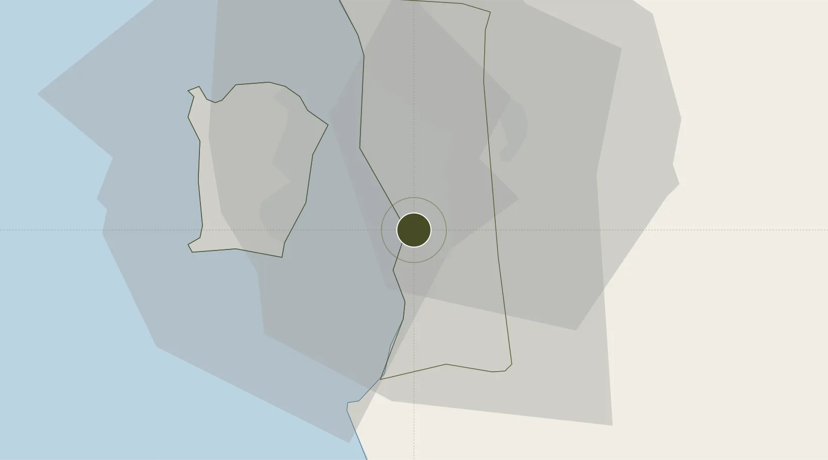
5.2950°, 100.4434°
1,781,600 ha
Zone area
17.0 km
Nearest port
18.5 km
Nearest airport

Gateway access

Nearest neighbours — logibook spatial index (haversine) over the source coordinates

Zone profile

Zone type
Economic Revitalization Project
Open Zone Map
Region
Pulau Pinang
Open Zone Map
Status
Active
Open Zone Map
Management
Public
Open Zone Map
Operator
Northern Corridor Implementation Authority
Open Zone Map
Legal framework
Northern Corridor Implementation Authority Act 2008 (Act 687)
Open Zone Map

Location

Location of ozm-2773
Natural Earth 10m (public domain) · Pulau Pinang · ozm-2773 · 5.29, 100.44GoogleOSMYandex

Nearby Logistics Neighbours

Ports
  1. 1Pulau Pinang17 km
  2. 2Lumut120 km
  3. 3Port Langkawi147 km
  4. 4Teluk Anson156 km
  5. 5Pattani207 km
Nearest neighbours — logibook spatial index (haversine) over the source coordinates
Airports
  1. 1Penang International Airport19 km
  2. 2RMAF Butterworth Air Base20 km
  3. 3Betong International Airport96 km
  4. 4Sultan Abdul Halim Airport100 km
  5. 5Sultan Azlan Shah Airport108 km
Nearest neighbours — logibook spatial index (haversine) over the source coordinates
Cities
  1. 1Batu Kawan6 km
  2. 2Prai9 km
  3. 3Seberang Perai Selatan11 km
  4. 4Sungai Bakap11 km
  5. 5Perai13 km
Nearest neighbours — logibook spatial index (haversine) over the source coordinates
Trade Zones
  1. 1Butterworth Free Commercial Zone13 km
  2. 2Bayan Lepas Free Zone17 km
  3. 3Second Air Cargo Complex (Kkuk) Free Zone Penang19 km
  4. 4Bayan Lepas Free Commercial Zone19 km
  5. 5Perai Free Industrial Zone19 km
Nearest neighbours — logibook spatial index (haversine) over the source coordinates
DatabookThe Record of Consolidated Knowledge
Malaysia beyond logistics?
Browse databook

All Sources

Trade ZonesOpen Zone Map
CC BY
Portsthe NGA World Port Index
Public domain (US gov)
AirportsOurAirports
Public domain
LocationsUN/LOCODE
UN/LOCODE — free
← Malaysia trade zones