Free Trade Zone · Malaysia

Kinta Free Industrial Zone Active
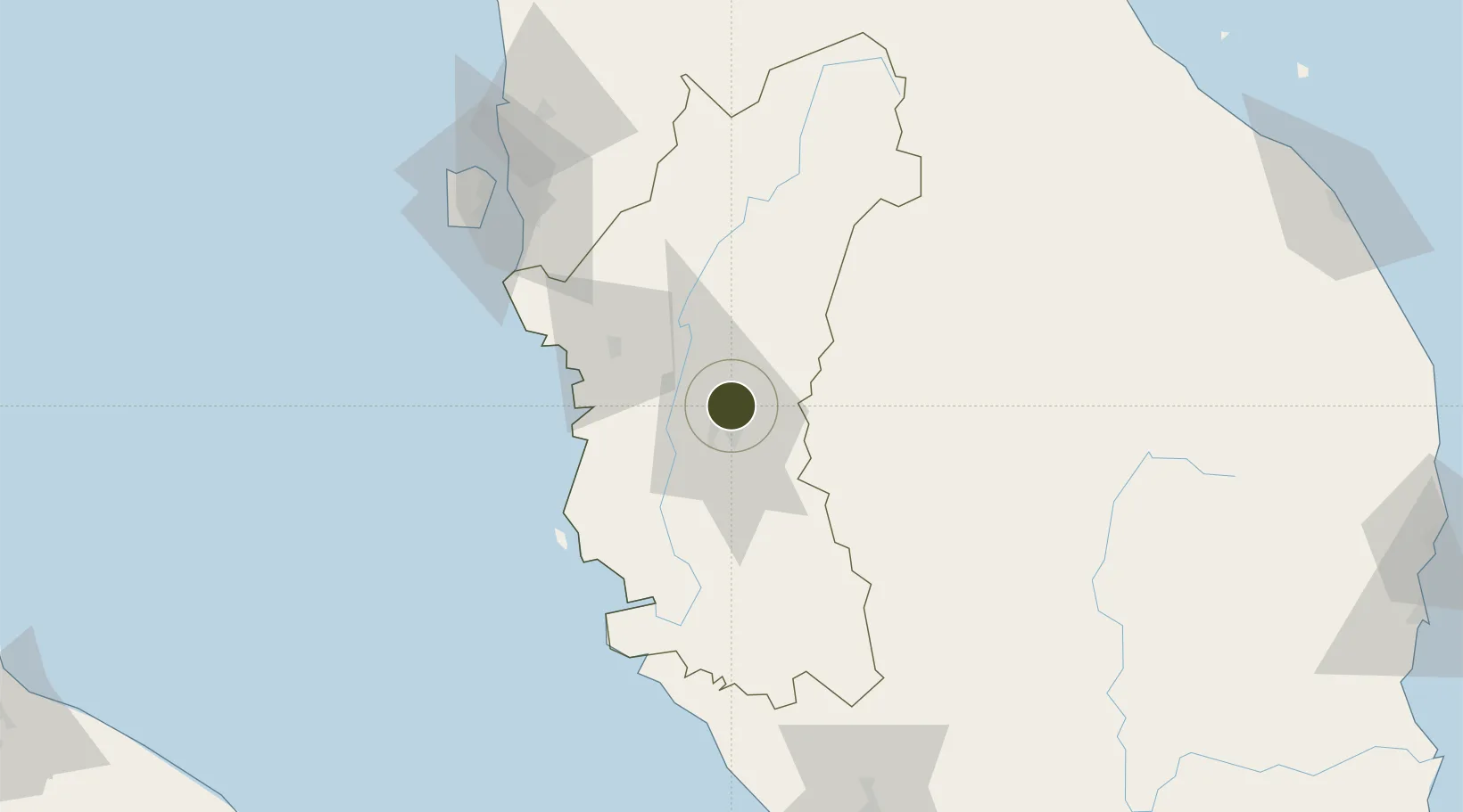
4.6733°, 101.1223°
46 ha
Zone area
73.0 km
Nearest port
12.3 km
Nearest airport

Gateway access

Nearest neighbours — logibook spatial index (haversine) over the source coordinates

Zone profile

Zone type
Free Trade Zone
Open Zone Map
Region
Perak
Open Zone Map
Status
Active
Open Zone Map
Management
Public
Open Zone Map
Operator
Ipoh City Council
Open Zone Map
Legal framework
Free Zones Act of 1990 (Act 438)
Open Zone Map

Location

Location of ozm-2794
Natural Earth 10m (public domain) · Perak · ozm-2794 · 4.67, 101.12GoogleOSMYandex

Nearby Logistics Neighbours

Ports
  1. 1Lumut73 km
  2. 2Teluk Anson74 km
  3. 3Pulau Pinang119 km
  4. 4Port Klang189 km
  5. 5Kuala Tanjung233 km
Nearest neighbours — logibook spatial index (haversine) over the source coordinates
Airports
  1. 1Sultan Azlan Shah Airport12 km
  2. 2Pulau Pangkor Airport79 km
  3. 3Penang International Airport117 km
  4. 4RMAF Butterworth Air Base120 km
  5. 5Betong International Airport124 km
Nearest neighbours — logibook spatial index (haversine) over the source coordinates
Cities
  1. 1Kampong Tasek4 km
  2. 2Falim11 km
  3. 3Menglembu15 km
  4. 4Lahat17 km
  5. 5Batu Gajah24 km
Nearest neighbours — logibook spatial index (haversine) over the source coordinates
Trade Zones
  1. 1Jelapang Ii10 km
  2. 2Northern Corridor Economic Region102 km
  3. 3Kulim Hi-Tech Free Zone103 km
  4. 4Luckchai Rubber City Industrial Estate109 km
  5. 5Butterworth Free Commercial Zone115 km
Nearest neighbours — logibook spatial index (haversine) over the source coordinates
DatabookThe Record of Consolidated Knowledge
Malaysia beyond logistics?
Browse databook

All Sources

Trade ZonesOpen Zone Map
CC BY
Portsthe NGA World Port Index
Public domain (US gov)
AirportsOurAirports
Public domain
LocationsUN/LOCODE
UN/LOCODE — free
← Malaysia trade zones