Free Zone · Malaysia

Bayan Lepas Free Zone Active
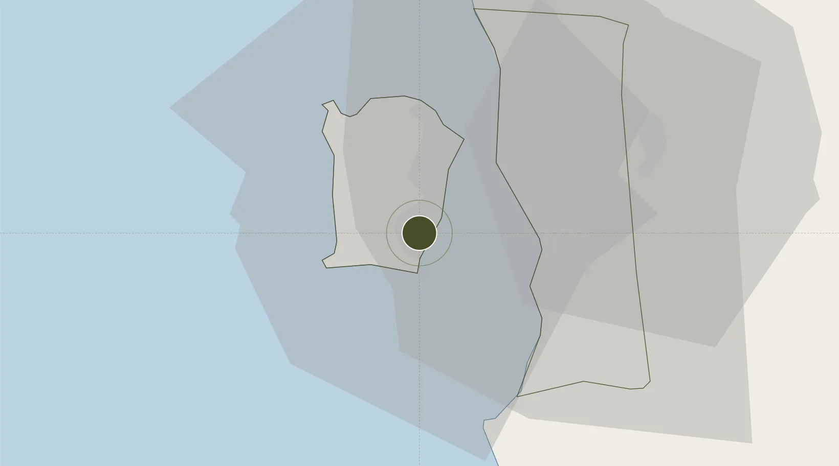
5.3094°, 100.2914°
525 ha
Zone area
13.6 km
Nearest port
2.2 km
Nearest airport

Gateway access

Nearest neighbours — logibook spatial index (haversine) over the source coordinates

Zone profile

Zone type
Free Zone
the World Bank SEZ database
Region
Pulau Pinang
the World Bank SEZ database
Status
Active
the World Bank SEZ database
Established
1973
the World Bank SEZ database
Management
Public agency
the World Bank SEZ database
Operator
Penang state government
the World Bank SEZ database
Regulatory authority
Ministry of International Trade and Industry
the World Bank SEZ database
Legal framework
Free Zones Act
the World Bank SEZ database

Location

Location of MYS3
Natural Earth 10m (public domain) · Pulau Pinang · MYS3 · 5.31, 100.29GoogleOSMYandex

Fiscal & incentives

Corporate tax
24%
the World Bank SEZ database
Tax relief
No exemption
the World Bank SEZ database
Relief duration
No exemption
the World Bank SEZ database
VAT
No exemption
the World Bank SEZ database
Import duty (inputs)
100% exempt
the World Bank SEZ database
Import duty (capex)
100% exempt
the World Bank SEZ database
Profit repatriation
100% exempt from repatriation tax on earnings
the World Bank SEZ database
Capital gains
No exemption
the World Bank SEZ database
Withholding tax
No exemption
the World Bank SEZ database
Min. investment
None
the World Bank SEZ database
Min. export
80%
the World Bank SEZ database
Employment incentive
No exemption
the World Bank SEZ database
Developer incentive
No established framework
the World Bank SEZ database

Nearby Logistics Neighbours

Ports
  1. 1Pulau Pinang14 km
  2. 2Lumut126 km
  3. 3Port Langkawi138 km
  4. 4Teluk Anson165 km
  5. 5Pattani214 km
Nearest neighbours — logibook spatial index (haversine) over the source coordinates
Airports
  1. 1Penang International Airport2 km
  2. 2RMAF Butterworth Air Base21 km
  3. 3Sultan Abdul Halim Airport99 km
  4. 4Betong International Airport109 km
  5. 5Sultan Azlan Shah Airport121 km
Nearest neighbours — logibook spatial index (haversine) over the source coordinates
Cities
  1. 1Batu Maung3 km
  2. 2Jelutong11 km
  3. 3Perai12 km
  4. 4George Town13 km
  5. 5Pulau Tikus14 km
Nearest neighbours — logibook spatial index (haversine) over the source coordinates
DatabookThe Record of Consolidated Knowledge
Malaysia beyond logistics?
Browse databook

All Sources

Trade Zonesthe World Bank SEZ database
CC BY 4.0
Portsthe NGA World Port Index
Public domain (US gov)
AirportsOurAirports
Public domain
LocationsUN/LOCODE
UN/LOCODE — free
← Malaysia trade zones