Free Trade Zone · Malaysia
Jelapang Ii Active
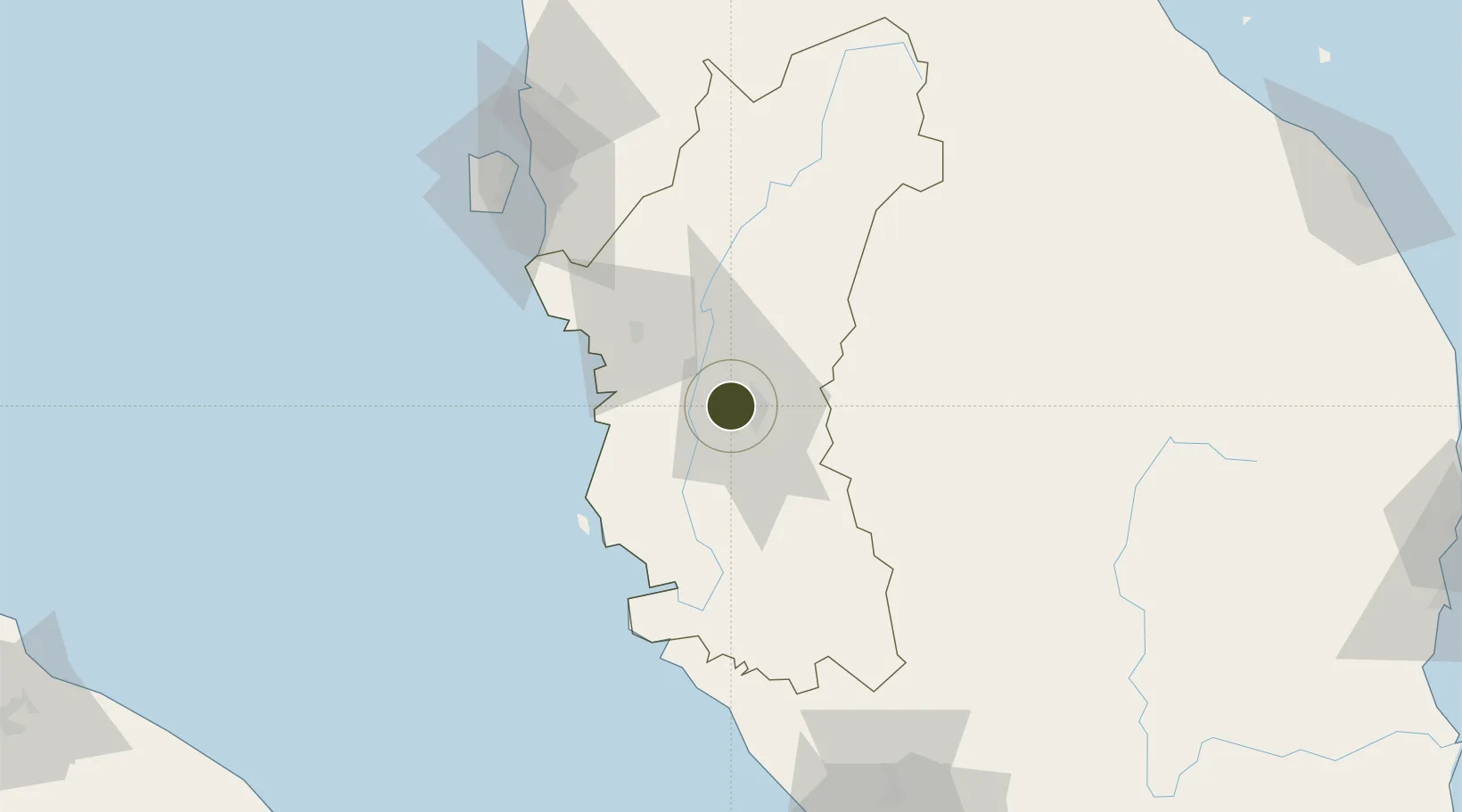
4.6227°, 101.0475°
45 ha
Zone area
63.1 km
Nearest port
7.9 km
Nearest airport
Gateway access
Zone profile
Zone type
Free Trade Zone
Region
Perak
Status
Active
Management
Public
Operator
Ipoh City Council
Legal framework
Free Zones Act of 1990 (Act 438)
Location
Nearby Logistics Neighbours
Ports
- 1Lumut63 km
- 2Teluk Anson68 km
- 3Pulau Pinang117 km
- 4Port Klang185 km
- 5Kuala Tanjung223 km
Airports
- 1Sultan Azlan Shah Airport8 km
- 2Pulau Pangkor Airport69 km
- 3Penang International Airport114 km
- 4RMAF Butterworth Air Base119 km
- 5Betong International Airport130 km
Cities
- 1Menglembu6 km
- 2Kampong Tasek7 km
- 3Lahat8 km
- 4Falim14 km
- 5Batu Gajah17 km
Trade Zones
- 1Kinta Free Industrial Zone10 km
- 2Northern Corridor Economic Region100 km
- 3Kulim Hi-Tech Free Zone103 km
- 4Bayan Lepas Free Zone113 km
- 5Butterworth Free Commercial Zone114 km
DatabookThe Record of Consolidated Knowledge
Malaysia beyond logistics?