Large airport · Malaysia

Sultan Azlan Shah AirportWMKI
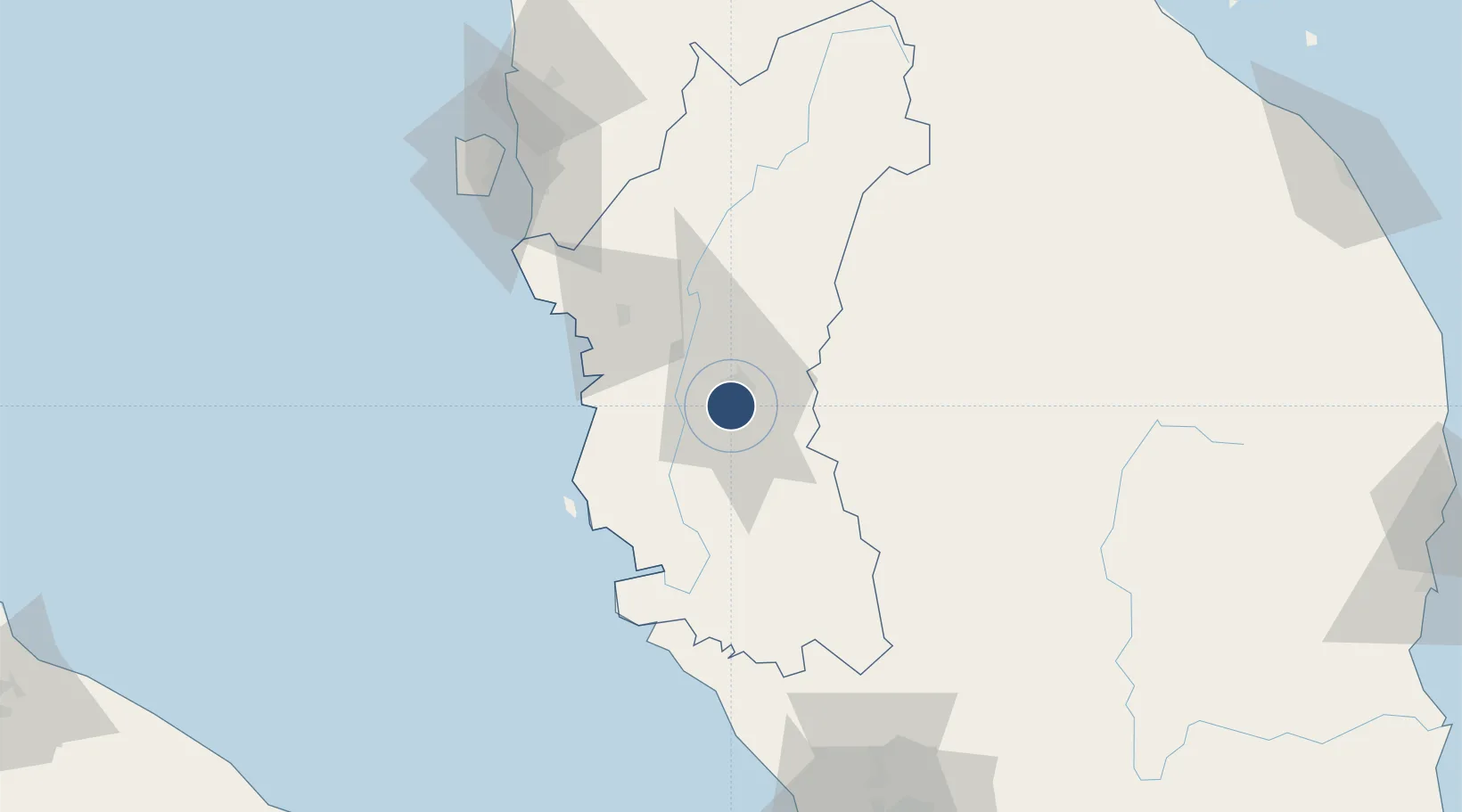
4.5673°, 101.0916°
5,900 ft
Longest runway
1
Runways
130 ft
Elevation

Runway & Layout

Sultan Azlan Shah Airport runway & taxiway layout
Runway & taxiway layout — OpenStreetMap (ODbL) / OurAirports

Radio Frequencies

TWR
122.1 MHz
IPOH TWR
OurAirports

Navaids

VIH VOR-DME Ipoh 117.30 MHz
VPS VOR Ipoh 112.80 MHz
OurAirports

Runways · 1

RunwayDimensions SurfaceTrue headingLit
04/22 5,900 × 121ft Asphalt 041°
OurAirports

Airport Specifications

IATA code
IPH
OurAirports
ICAO code
WMKI
OurAirports
Airport class
Large airport
OurAirports
Scheduled service
Yes
OurAirports
Runway surface
Asphalt
OurAirports
Served city
Ipoh
OurAirports

Location

Location of WMKI
Natural Earth 10m (public domain) · Perak · WMKI · 4.57, 101.09GoogleOSMYandex

Nearby Logistics Neighbours

Airports
  1. 1Pulau Pangkor Airport70 km
  2. 2Penang International Airport121 km
  3. 3RMAF Butterworth Air Base127 km
  4. 4Betong International Airport136 km
  5. 5Sultan Abdul Aziz Shah International Airport168 km
Nearest neighbours — logibook spatial index (haversine) over the source coordinates
Cities
  1. 1Menglembu7 km
  2. 2Lahat7 km
  3. 3Kampong Tasek9 km
  4. 4Batu Gajah12 km
  5. 5Falim21 km
Nearest neighbours — logibook spatial index (haversine) over the source coordinates
Ports
  1. 1Teluk Anson62 km
  2. 2Lumut63 km
  3. 3Pulau Pinang125 km
  4. 4Port Klang178 km
  5. 5Kuala Tanjung223 km
Nearest neighbours — logibook spatial index (haversine) over the source coordinates
Trade Zones
  1. 1Jelapang Ii8 km
  2. 2Kinta Free Industrial Zone12 km
  3. 3Northern Corridor Economic Region108 km
  4. 4Kulim Hi-Tech Free Zone111 km
  5. 5Bayan Lepas Free Zone121 km
Nearest neighbours — logibook spatial index (haversine) over the source coordinates
DatabookThe Record of Consolidated Knowledge
Malaysia beyond logistics?
Browse databook

All Sources

AirportsOurAirports
Public domain
Portsthe NGA World Port Index
Public domain (US gov)
LocationsUN/LOCODE
UN/LOCODE — free
Trade Zonesthe World Bank SEZ database
CC BY 4.0
Trade ZonesOpen Zone Map
CC BY
InfrastructureOpenStreetMap
ODbL 1.0
← Malaysia airports