Transport Functions
Rail
Road
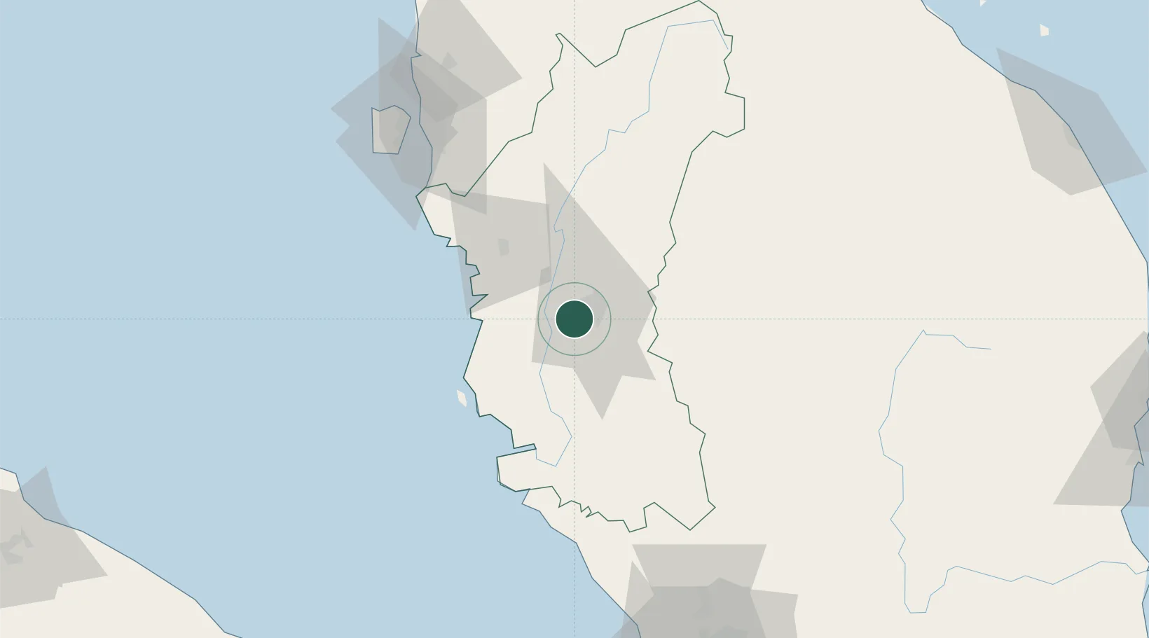
Hub Profile
Place type
Populated place
Region
Perak
Population
2,600
Time zone
Asia/Kuala_Lumpur
Elevation
43 m
Location
Nearby Logistics Neighbours
Cities
- 1Lahat2 km
- 2Batu Gajah11 km
- 3Kampong Tasek12 km
- 4Teronoh18 km
- 5Falim21 km
Ports
- 1Lumut58 km
- 2Teluk Anson61 km
- 3Pulau Pinang121 km
- 4Port Klang179 km
- 5Kuala Tanjung218 km
Airports
- 1Sultan Azlan Shah Airport7 km
- 2Pulau Pangkor Airport64 km
- 3Penang International Airport117 km
- 4RMAF Butterworth Air Base123 km
- 5Betong International Airport137 km
Trade Zones
- 1Jelapang Ii6 km
- 2Kinta Free Industrial Zone15 km
- 3Northern Corridor Economic Region104 km
- 4Kulim Hi-Tech Free Zone108 km
- 5Bayan Lepas Free Zone117 km
DatabookThe Record of Consolidated Knowledge
Malaysia beyond logistics?