Transport Functions
Rail
Road
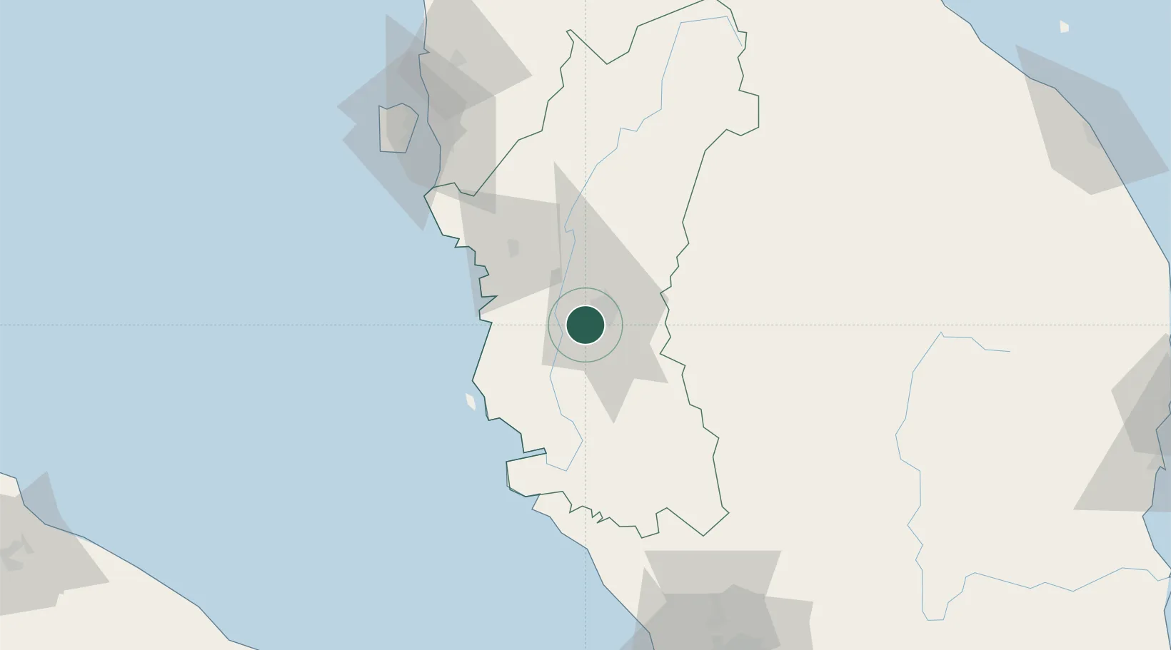
Hub Profile
Place type
Populated place
Region
Perak
Population
30,694
Time zone
Asia/Kuala_Lumpur
Elevation
43 m
Location
Nearby Logistics Neighbours
Cities
- 1Menglembu2 km
- 2Batu Gajah9 km
- 3Kampong Tasek13 km
- 4Teronoh16 km
- 5Falim23 km
Ports
- 1Lumut57 km
- 2Teluk Anson59 km
- 3Pulau Pinang123 km
- 4Port Klang177 km
- 5Kuala Tanjung217 km
Airports
- 1Sultan Azlan Shah Airport7 km
- 2Pulau Pangkor Airport63 km
- 3Penang International Airport118 km
- 4RMAF Butterworth Air Base124 km
- 5Betong International Airport139 km
Trade Zones
- 1Jelapang Ii8 km
- 2Kinta Free Industrial Zone17 km
- 3Northern Corridor Economic Region106 km
- 4Kulim Hi-Tech Free Zone109 km
- 5Bayan Lepas Free Zone118 km
DatabookThe Record of Consolidated Knowledge
Malaysia beyond logistics?