Large airport · Malaysia
Penang International AirportWMKP
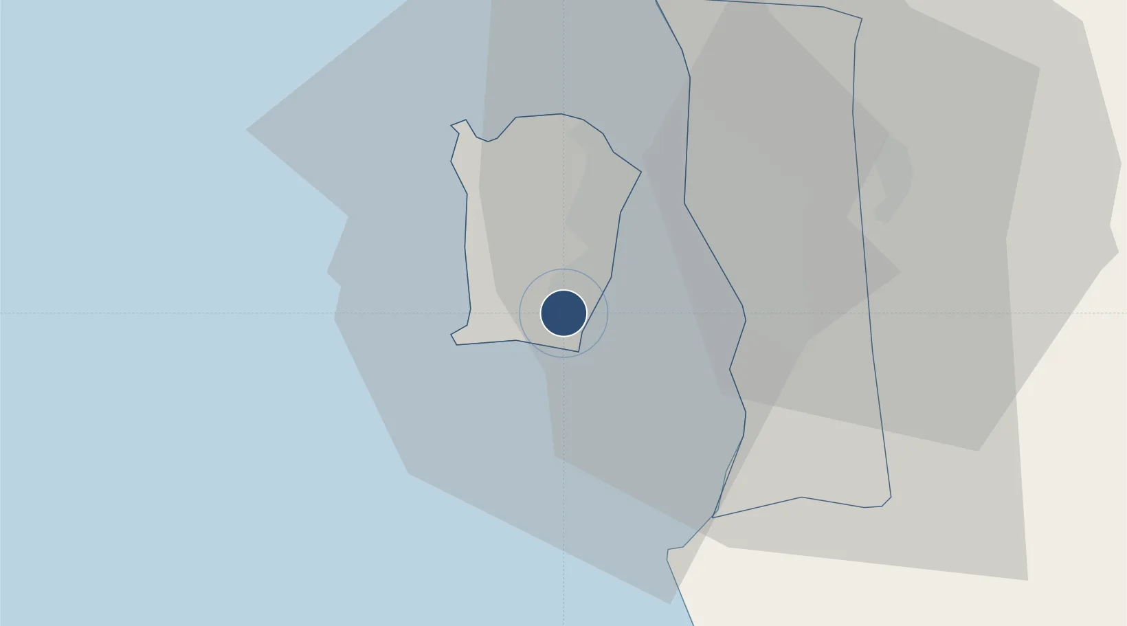
5.2963°, 100.2762°
10,997 ft
Longest runway
1
Runways
11 ft
Elevation
Runway & Layout

Radio Frequencies
ATIS
126.4 MHz
TWR
121.1 MHz
PENANG TOWER
GND
121.6 MHz
PENANG GROUND
Navaids
PNG NDB Penang 406 kHz
VPG VOR-DME Penang 116.20 MHz
Runways · 1
| Runway | Dimensions | Surface | True heading | Lit |
|---|---|---|---|---|
| 04/22 | 10,997 × 150ft | Asphalt | 042° | ✓ |
Airport Specifications
IATA code
PEN
ICAO code
WMKP
Airport class
Large airport
Scheduled service
Yes
Runway surface
Asphalt
Served city
Penang
Location
Nearby Logistics Neighbours
Airports
- 1RMAF Butterworth Air Base23 km
- 2Sultan Abdul Halim Airport100 km
- 3Betong International Airport111 km
- 4Pulau Pangkor Airport121 km
- 5Sultan Azlan Shah Airport121 km
Cities
- 1Batu Maung2 km
- 2Jelutong12 km
- 3Perai14 km
- 4George Town15 km
- 5Pulau Tikus16 km
Ports
- 1Pulau Pinang16 km
- 2Lumut125 km
- 3Port Langkawi138 km
- 4Teluk Anson164 km
- 5Pattani216 km
DatabookThe Record of Consolidated Knowledge
Malaysia beyond logistics?