Transport Functions
Multimodal
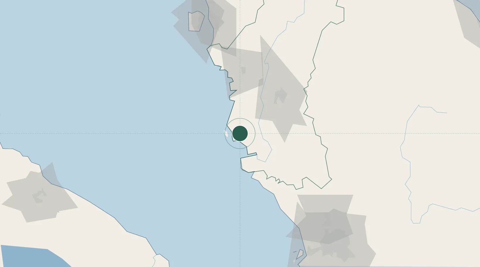
Hub Profile
Place type
Populated place
Region
Perak
Time zone
Asia/Kuala_Lumpur
Elevation
8 m
Location
Nearby Logistics Neighbours
Cities
- 1Manjung13 km
- 2Selekoh36 km
- 3Teronoh38 km
- 4Batu Gajah47 km
- 5Hutan Melintang47 km
Ports
- 1Lumut7 km
- 2Teluk Anson43 km
- 3Pulau Pinang137 km
- 4Port Klang158 km
- 5Kuala Tanjung166 km
Airports
Trade Zones
DatabookThe Record of Consolidated Knowledge
Malaysia beyond logistics?