UN/LOCODE hub · Malaysia
MYHUM
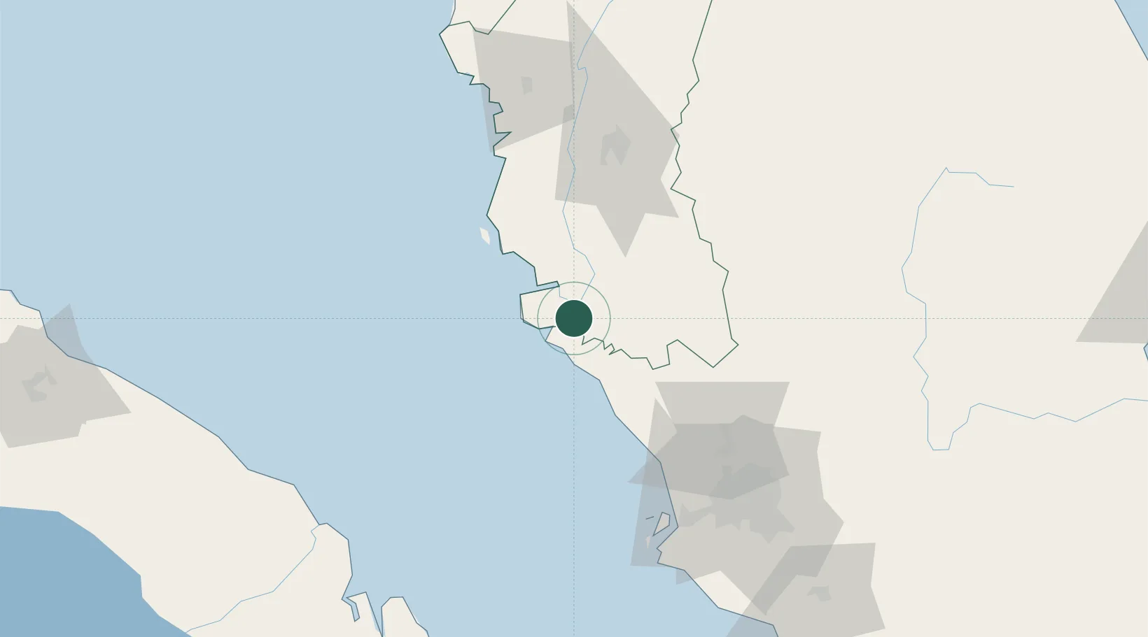
Hutan Melintang
3.8833°, 100.9333°
28,357
Population
1
Transport functions
Transport Functions
Port
Hub Profile
Place type
Populated place
Region
Perak
Population
28,357
Time zone
Asia/Kuala_Lumpur
Elevation
4 m
Location
Nearby Logistics Neighbours
Cities
- 1Selekoh17 km
- 2Langkap42 km
- 3Manjung46 km
- 4Simpang Lima47 km
- 5Teronoh60 km
Ports
- 1Teluk Anson18 km
- 2Lumut51 km
- 3Port Klang111 km
- 4Kuala Tanjung171 km
- 5Port Dickson177 km
Airports
Trade Zones
- 1Jelapang Ii83 km
- 2Kinta Free Industrial Zone90 km
- 3Eco Business Park V93 km
- 4Northport Free Zone107 km
- 5Bukit Raja Industrial Park108 km
DatabookThe Record of Consolidated Knowledge
Malaysia beyond logistics?