Transport Functions
Multimodal
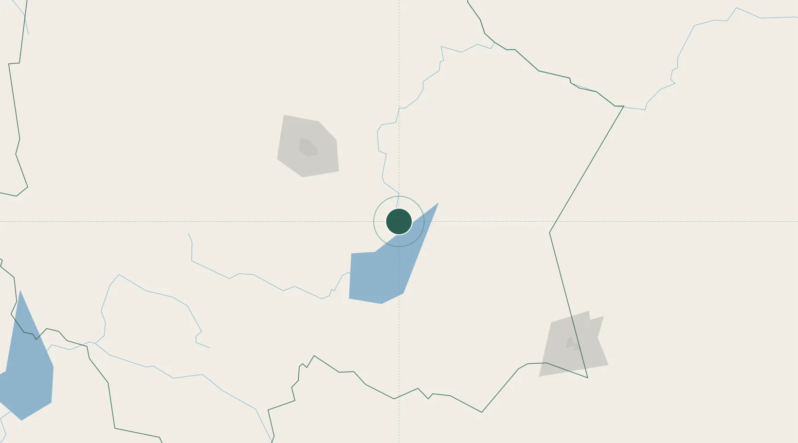
Hub Profile
Place type
Provincial seat
Region
Chihuahua
Population
11,004
Time zone
America/Chihuahua
Elevation
1,197 m
Location
Nearby Logistics Neighbours
Cities
- 1Camargo9 km
- 2Jiménez37 km
- 3Bachíniva209 km
- 4Valentine295 km
- 5Fort Davis316 km
Ports
- 1Topolobampo462 km
- 2Mazatlan548 km
- 3Guaymas553 km
- 4Pichilingue654 km
- 5La Paz660 km
Airports
Trade Zones
- 1FTZ No. 068 El Paso436 km
- 2FTZ No. 150 El Paso436 km
- 3FTZ No. 096 Eagle Pass474 km
- 4FTZ No. 197 Dona Ana County529 km
- 5FTZ No. 165 Midland536 km
DatabookThe Record of Consolidated Knowledge
Mexico beyond logistics?