UN/LOCODE hub · Mexico
MXBAC

Bachíniva

28.7500°, -107.2500°
2,109
Population
1
Transport functions

Transport Functions

Multimodal
UN/LOCODE

Hub Profile

Place type
Provincial seat
GeoNames
Region
Chihuahua
GeoNames
Population
2,109
GeoNames
Time zone
America/Chihuahua
GeoNames
Elevation
2,037 m
GeoNames

Location

Location of MXBAC
Natural Earth 10m (public domain) · Chihuahua · MXBAC · 28.75, -107.25GoogleOSMYandex

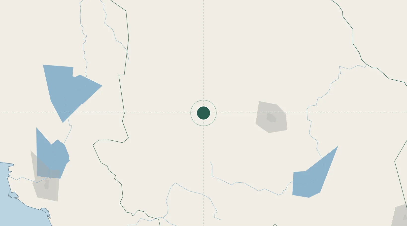
Nearby Logistics Neighbours

Cities
  1. 1Jiménez187 km
  2. 2Camargo207 km
  3. 3Saucillo209 km
  4. 4Tornillo319 km
  5. 5Fabens324 km
Nearest neighbours — logibook spatial index (haversine) over the source coordinates
Ports
  1. 1Guaymas371 km
  2. 2Topolobampo394 km
  3. 3Isla San Marcos507 km
  4. 4Santa Rosalia518 km
  5. 5Pichilingue585 km
Nearest neighbours — logibook spatial index (haversine) over the source coordinates
Trade Zones
  1. 1FTZ No. 068 El Paso352 km
  2. 2FTZ No. 150 El Paso352 km
  3. 3FTZ No. 197 Dona Ana County408 km
  4. 4FTZ No. 139 Sierra Vista428 km
  5. 5FTZ No. 060 Nogales457 km
Nearest neighbours — logibook spatial index (haversine) over the source coordinates
DatabookThe Record of Consolidated Knowledge
Mexico beyond logistics?
Browse databook

All Sources

LocationsUN/LOCODE
UN/LOCODE — free
LocationsGeoNames
CC BY 4.0
Portsthe NGA World Port Index
Public domain (US gov)
AirportsOurAirports
Public domain
Trade Zonesthe World Bank SEZ database
CC BY 4.0
Trade ZonesOpen Zone Map
CC BY
← Mexico locations