Transport Functions
Port
Multimodal
Hub Profile
Place type
Populated place
Region
Chihuahua
Time zone
America/Chihuahua
Elevation
1,125 m
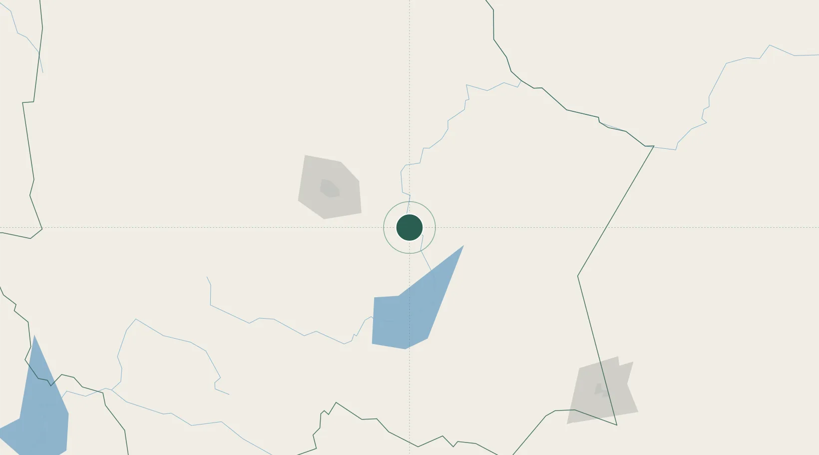
Location
Nearby Logistics Neighbours
Cities
- 1Camargo29 km
- 2Saucillo37 km
- 3Bachíniva187 km
- 4Valentine265 km
- 5Fort Davis290 km
Ports
- 1Topolobampo474 km
- 2Guaymas543 km
- 3Mazatlan580 km
- 4Pichilingue668 km
- 5Isla San Marcos672 km
Airports
Trade Zones
- 1FTZ No. 068 El Paso399 km
- 2FTZ No. 150 El Paso399 km
- 3FTZ No. 096 Eagle Pass480 km
- 4FTZ No. 197 Dona Ana County492 km
- 5FTZ No. 165 Midland514 km
DatabookThe Record of Consolidated Knowledge
Mexico beyond logistics?