Medium airport · Mexico

Francisco Sarabia Tinoco International AirportMMTC

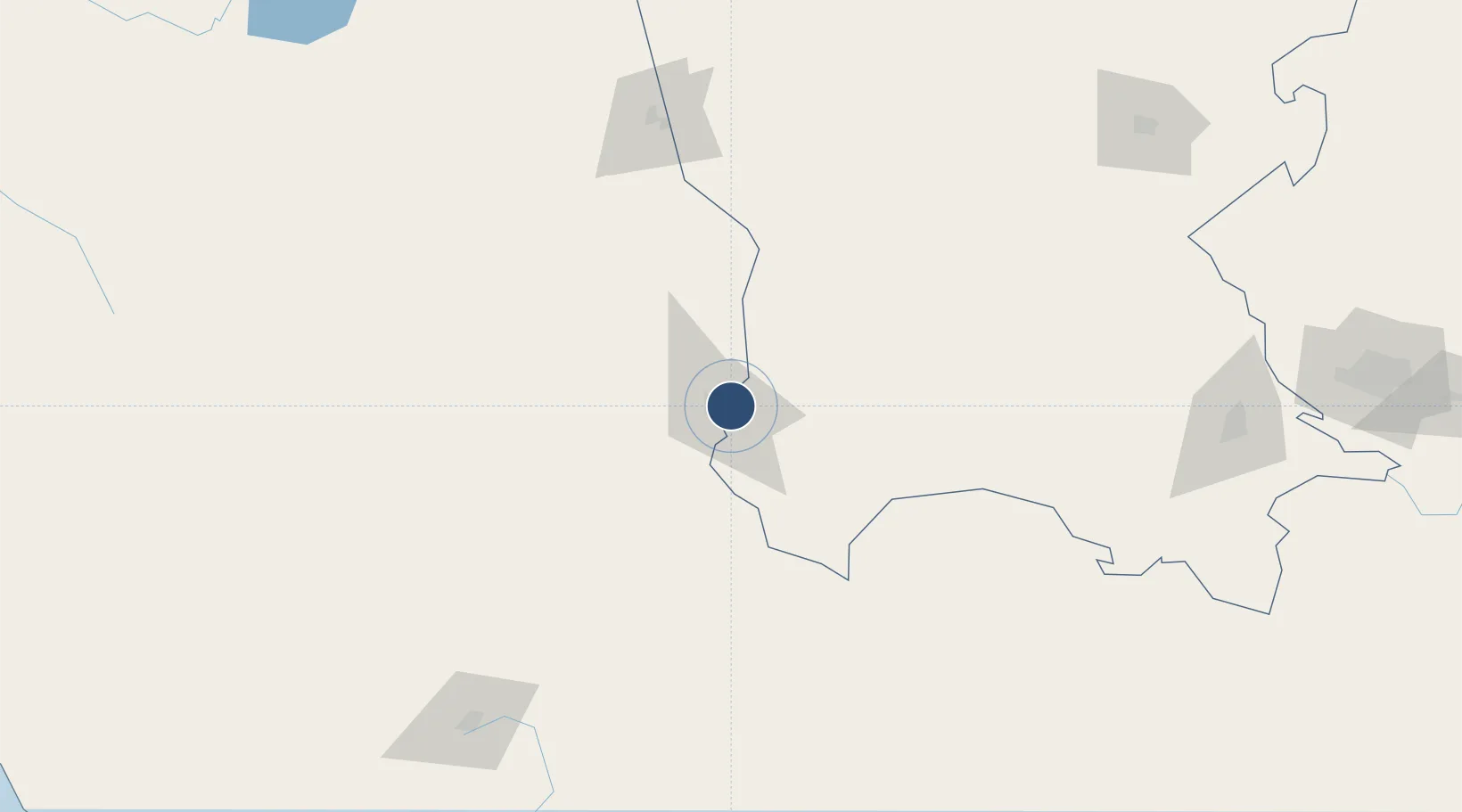
25.5623°, -103.4046°
9,039 ft
Longest runway
2
Runways
3,688 ft
Elevation

Runway & Layout

Francisco Sarabia Tinoco International Airport runway & taxiway layout
Runway & taxiway layout — OpenStreetMap (ODbL) / OurAirports

Radio Frequencies

TWR
118.5 MHz
APP
119.5 MHz
OurAirports

Navaids

TRC VOR-DME Torreon 116.40 MHz
OurAirports

Runways · 2

RunwayDimensions SurfaceTrue headingLit
13/31 9,039 × 148ft Asphalt 136°
08/26 4,813 × 98ft Asphalt 091°
OurAirports

Airport Specifications

IATA code
TRC
OurAirports
ICAO code
MMTC
OurAirports
Airport class
Medium airport
OurAirports
Scheduled service
Yes
OurAirports
Runway surface
Asphalt
OurAirports
Served city
Torreón
OurAirports

Location

Location of MMTC
Natural Earth 10m (public domain) · Coahuila · MMTC · 25.56, -103.40GoogleOSMYandex

Nearby Logistics Neighbours

Airports
  1. 1Cedros Airport192 km
  2. 2General Guadalupe Victoria International Airport196 km
  3. 3Monclova International Airport247 km
  4. 4Plan De Guadalupe International Airport248 km
  5. 5General Leobardo C. Ruiz International Airport305 km
Nearest neighbours — logibook spatial index (haversine) over the source coordinates
Cities
  1. 1San Pedro49 km
  2. 2Atotonilco107 km
  3. 3Jalisco144 km
  4. 4Arteaga257 km
  5. 5Fresnillo272 km
Nearest neighbours — logibook spatial index (haversine) over the source coordinates
Ports
  1. 1Mazatlan403 km
  2. 2Topolobampo568 km
  3. 3Puerto Vallarta582 km
  4. 4Brownsville603 km
  5. 5Port Isabel624 km
Nearest neighbours — logibook spatial index (haversine) over the source coordinates
Trade Zones
  1. 1FTZ No. 094 Laredo450 km
  2. 2FTZ No. 096 Eagle Pass452 km
  3. 3FTZ No. 095 Starr County467 km
  4. 4FTZ No. 012 McAllen518 km
  5. 5FTZ No. 156 Weslaco543 km
Nearest neighbours — logibook spatial index (haversine) over the source coordinates
DatabookThe Record of Consolidated Knowledge
Mexico beyond logistics?
Browse databook

All Sources

AirportsOurAirports
Public domain
Portsthe NGA World Port Index
Public domain (US gov)
LocationsUN/LOCODE
UN/LOCODE — free
Trade Zonesthe World Bank SEZ database
CC BY 4.0
Trade ZonesOpen Zone Map
CC BY
InfrastructureOpenStreetMap
ODbL 1.0
← Mexico airports