UN/LOCODE hub · United States
USQFA
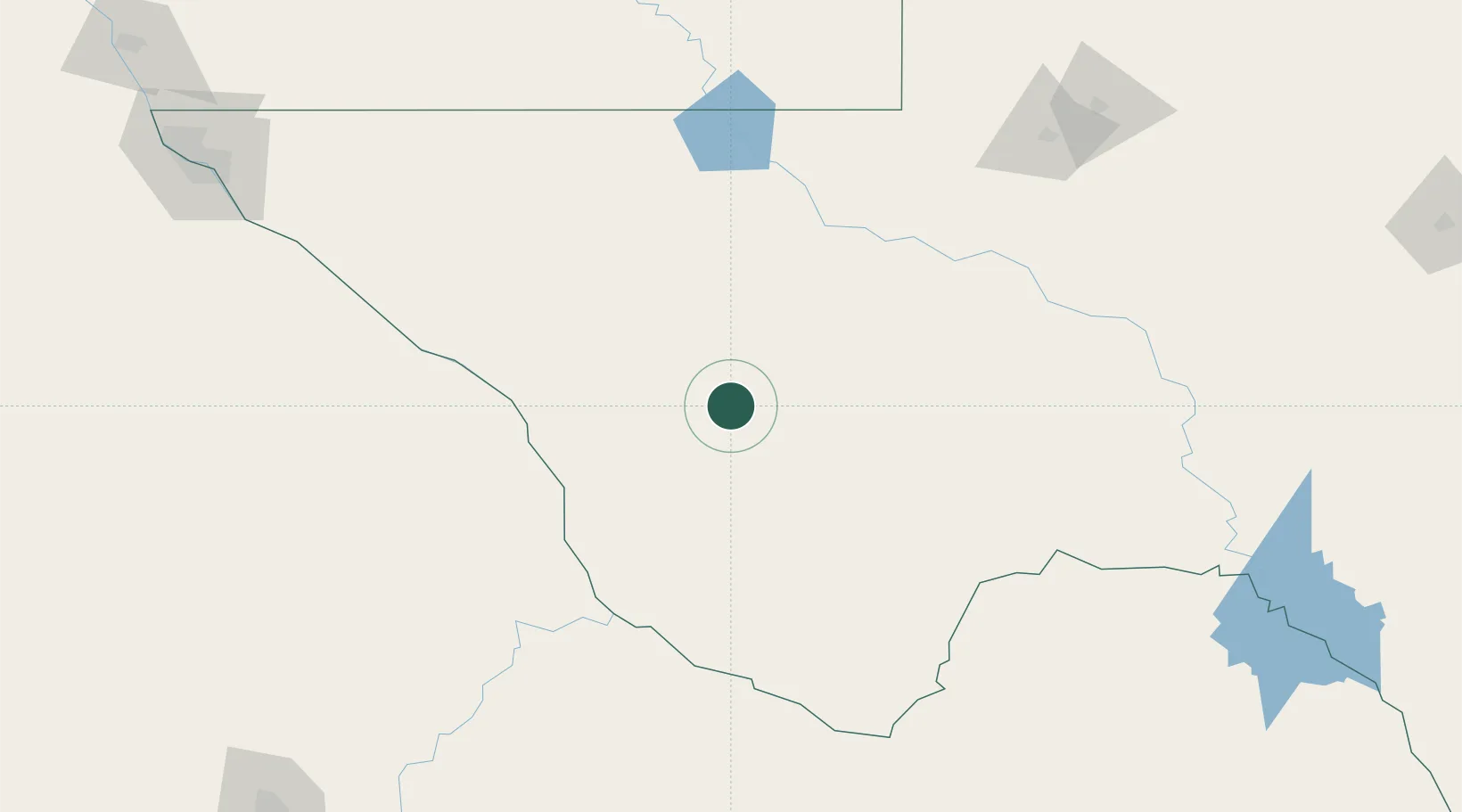
Fort Davis
30.5833°, -103.8833°
1,201
Population
3
Transport functions
Transport Functions
Port
Road
Multimodal
Hub Profile
Place type
Provincial seat
Region
Texas
Population
1,201
Time zone
America/Chicago
Elevation
1,491 m
Location
Nearby Logistics Neighbours
Ports
- 1Corpus Christi700 km
- 2Port Ingleside719 km
- 3Rockport721 km
- 4Port Aransas730 km
- 5Port Lavaca736 km
Airports
Trade Zones
- 1FTZ No. 165 Midland227 km
- 2FTZ No. 166 Homestead227 km
- 3FTZ No. 068 El Paso273 km
- 4FTZ No. 150 El Paso273 km
- 5FTZ No. 260 Lubbock377 km
DatabookThe Record of Consolidated Knowledge
United States beyond logistics?