Transport Functions
Port
Multimodal
Hub Profile
Place type
Provincial seat
Region
Chihuahua
Population
40,221
Time zone
America/Chihuahua
Elevation
1,240 m
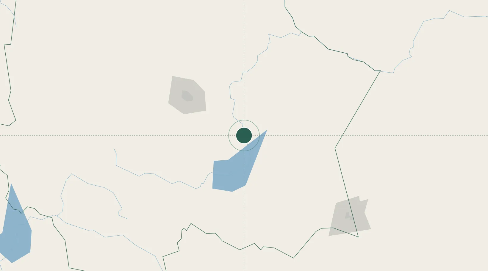
Location
Nearby Logistics Neighbours
Cities
- 1Saucillo9 km
- 2Jiménez29 km
- 3Bachíniva207 km
- 4Valentine286 km
- 5Fort Davis307 km
Ports
- 1Topolobampo468 km
- 2Guaymas555 km
- 3Mazatlan557 km
- 4Pichilingue661 km
- 5La Paz667 km
Airports
Trade Zones
- 1FTZ No. 068 El Paso427 km
- 2FTZ No. 150 El Paso427 km
- 3FTZ No. 096 Eagle Pass471 km
- 4FTZ No. 197 Dona Ana County521 km
- 5FTZ No. 165 Midland528 km
DatabookThe Record of Consolidated Knowledge
Mexico beyond logistics?