UN/LOCODE hub · United States
USVTE
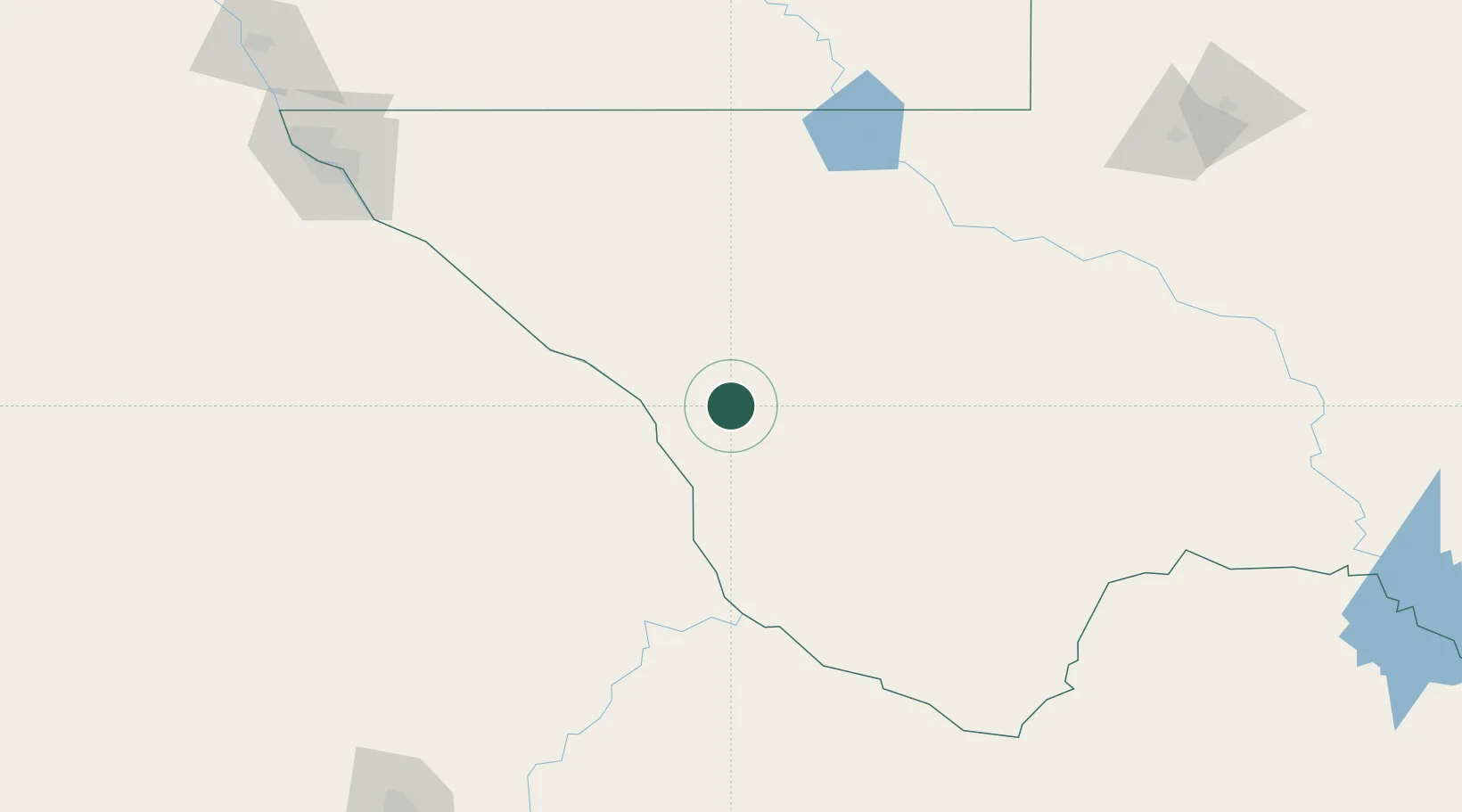
Valentine
30.5833°, -104.5000°
123
Population
2
Transport functions
Transport Functions
Rail
Road
Hub Profile
Place type
Populated place
Region
Texas
Population
123
Time zone
America/Chicago
Elevation
1,351 m
Location
Nearby Logistics Neighbours
Cities
- 1Fort Davis59 km
- 2Balmorhea86 km
- 3Pecos134 km
- 4Tornillo178 km
- 5Fabens187 km
Ports
- 1Guaymas689 km
- 2Topolobampo712 km
- 3Corpus Christi755 km
- 4Port Ingleside774 km
- 5Rockport777 km
Airports
Trade Zones
- 1FTZ No. 068 El Paso225 km
- 2FTZ No. 150 El Paso225 km
- 3FTZ No. 165 Midland272 km
- 4FTZ No. 166 Homestead272 km
- 5FTZ No. 197 Dona Ana County341 km
DatabookThe Record of Consolidated Knowledge
United States beyond logistics?