Transport Functions
Multimodal
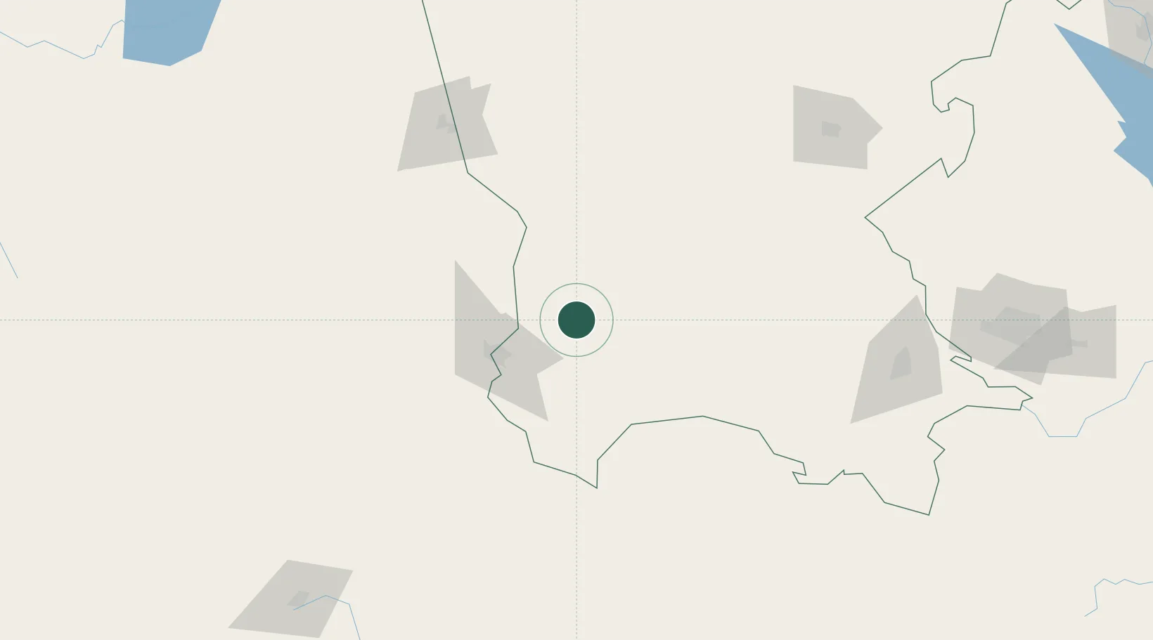
Hub Profile
Place type
Provincial seat
Region
Coahuila
Population
48,746
Time zone
America/Monterrey
Elevation
1,101 m
Location
Nearby Logistics Neighbours
Cities
- 1Atotonilco144 km
- 2Jalisco149 km
- 3Arteaga216 km
- 4Villa de García237 km
- 5Garza García257 km
Ports
- 1Mazatlan450 km
- 2Brownsville558 km
- 3Port Isabel578 km
- 4Corpus Christi598 km
- 5Topolobampo612 km
Airports
Trade Zones
- 1FTZ No. 094 Laredo401 km
- 2FTZ No. 096 Eagle Pass408 km
- 3FTZ No. 095 Starr County420 km
- 4FTZ No. 012 McAllen472 km
- 5FTZ No. 156 Weslaco497 km
DatabookThe Record of Consolidated Knowledge
Mexico beyond logistics?