Medium airport · Mexico

Plan De Guadalupe International AirportMMIO

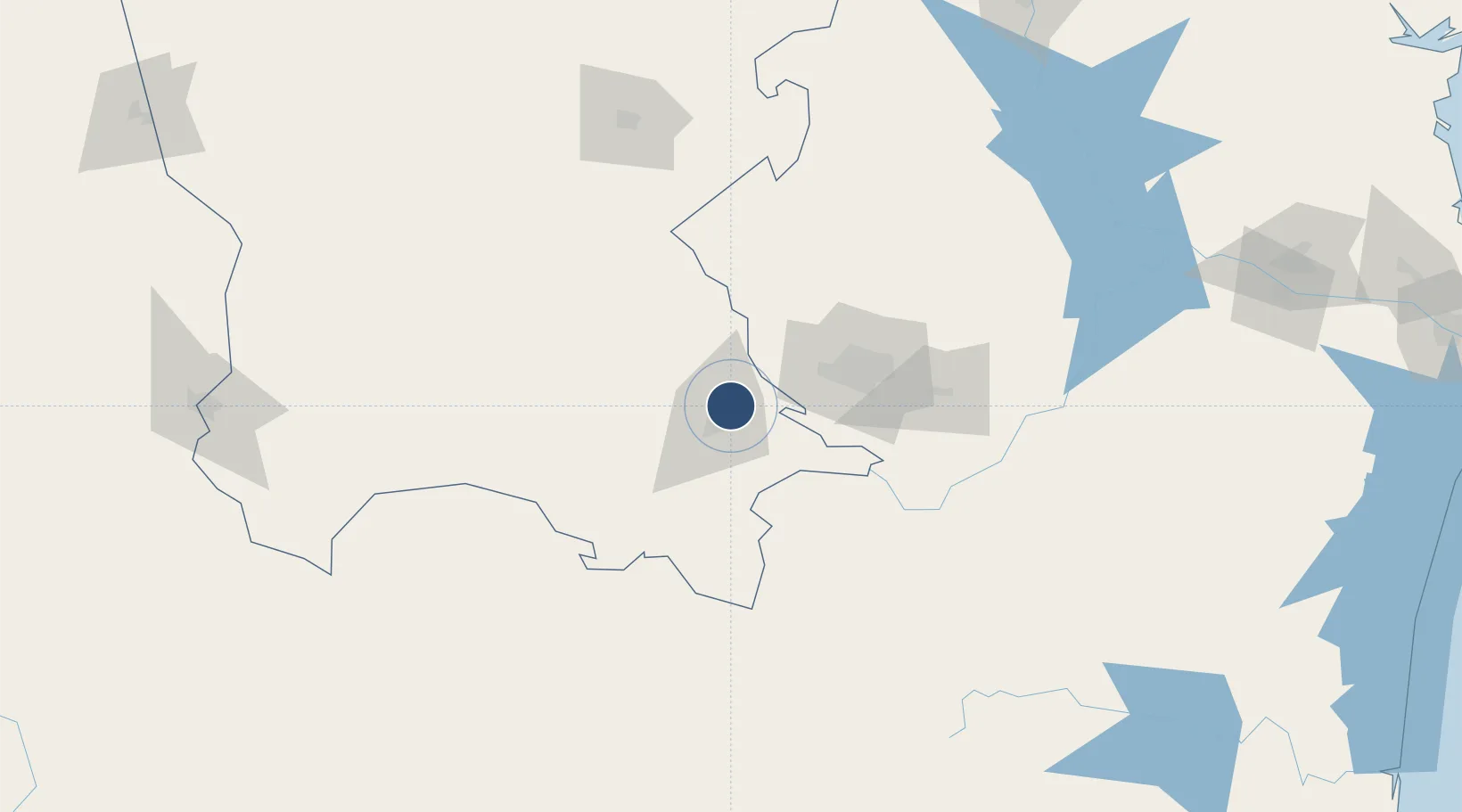
25.5379°, -100.9283°
9,506 ft
Longest runway
1
Runways
4,778 ft
Elevation

Runway & Layout

Plan De Guadalupe International Airport runway & taxiway layout
Runway & taxiway layout — OpenStreetMap (ODbL) / OurAirports

Radio Frequencies

TWR
118.4 MHz
SALTILLO TWR
APP
127.4 MHz
SALTILLO APP
OurAirports

Navaids

SLW VOR-DME Saltillo 116.10 MHz
OurAirports

Runways · 1

RunwayDimensions SurfaceTrue headingLit
17/35 9,506 × 148ft Asphalt 180°
OurAirports

Airport Specifications

IATA code
SLW
OurAirports
ICAO code
MMIO
OurAirports
Airport class
Medium airport
OurAirports
Scheduled service
Yes
OurAirports
Runway surface
Asphalt
OurAirports
Served city
Saltillo
OurAirports

Location

Location of MMIO
Natural Earth 10m (public domain) · Coahuila · MMIO · 25.54, -100.93GoogleOSMYandex

Nearby Logistics Neighbours

Airports
  1. 1Del Norte International Airport78 km
  2. 2Monterrey International Airport87 km
  3. 3Cedros Airport133 km
  4. 4Monclova International Airport167 km
  5. 5Francisco Sarabia Tinoco International Airport248 km
Nearest neighbours — logibook spatial index (haversine) over the source coordinates
Cities
  1. 1Arteaga16 km
  2. 2Villa de García44 km
  3. 3Garza García55 km
  4. 4San Nicolás de los Garza67 km
  5. 5Cadereyta Jiménez93 km
Nearest neighbours — logibook spatial index (haversine) over the source coordinates
Ports
  1. 1Brownsville356 km
  2. 2Port Isabel378 km
  3. 3Corpus Christi433 km
  4. 4Port Ingleside450 km
  5. 5Altamira462 km
Nearest neighbours — logibook spatial index (haversine) over the source coordinates
Trade Zones
  1. 1FTZ No. 095 Starr County231 km
  2. 2FTZ No. 094 Laredo267 km
  3. 3FTZ No. 012 McAllen275 km
  4. 4FTZ No. 156 Weslaco299 km
  5. 5FTZ No. 157 Casper299 km
Nearest neighbours — logibook spatial index (haversine) over the source coordinates
DatabookThe Record of Consolidated Knowledge
Mexico beyond logistics?
Browse databook

All Sources

AirportsOurAirports
Public domain
Portsthe NGA World Port Index
Public domain (US gov)
LocationsUN/LOCODE
UN/LOCODE — free
Trade Zonesthe World Bank SEZ database
CC BY 4.0
Trade ZonesOpen Zone Map
CC BY
InfrastructureOpenStreetMap
ODbL 1.0
← Mexico airports