Transport Functions
Road
Multimodal
Hub Profile
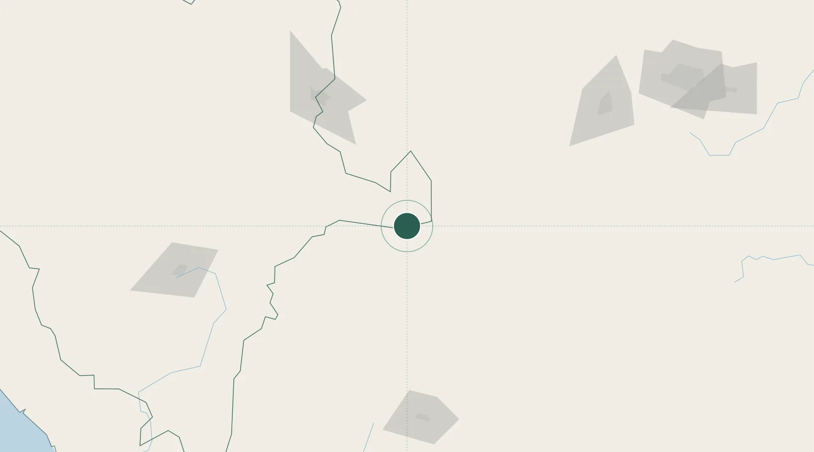
Region
Durango
Time zone
America/Monterrey
Elevation
1,717 m
Location
Nearby Logistics Neighbours
Cities
- 1Atotonilco102 km
- 2Fresnillo142 km
- 3San Pedro149 km
- 4Arteaga216 km
- 5Villa de García260 km
Ports
- 1Mazatlan402 km
- 2Puerto Vallarta500 km
- 3Altamira540 km
- 4Tampico552 km
- 5Brownsville559 km
Airports
Trade Zones
- 1FTZ No. 095 Starr County446 km
- 2FTZ No. 094 Laredo474 km
- 3FTZ No. 012 McAllen485 km
- 4FTZ No. 156 Weslaco508 km
- 5FTZ No. 157 Casper508 km
DatabookThe Record of Consolidated Knowledge
Mexico beyond logistics?