Transport Functions
Rail
Road
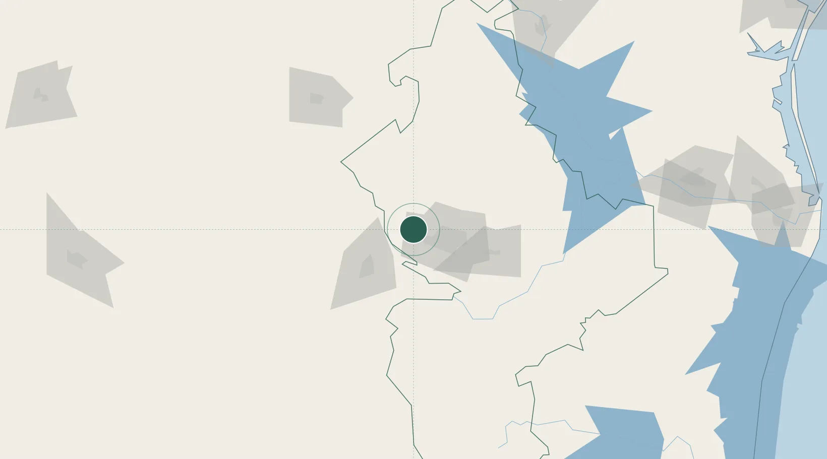
Hub Profile
Region
NLE
Location
Nearby Logistics Neighbours
Cities
- 1Garza García25 km
- 2San Nicolás de los Garza31 km
- 3Arteaga49 km
- 4Cadereyta Jiménez64 km
- 5General Terán109 km
Ports
- 1Brownsville321 km
- 2Port Isabel341 km
- 3Corpus Christi389 km
- 4Port Ingleside407 km
- 5Port Aransas419 km
Airports
Trade Zones
- 1FTZ No. 095 Starr County189 km
- 2FTZ No. 094 Laredo225 km
- 3FTZ No. 012 McAllen236 km
- 4FTZ No. 156 Weslaco261 km
- 5FTZ No. 157 Casper261 km
DatabookThe Record of Consolidated Knowledge
Mexico beyond logistics?