UN/LOCODE hub · Mexico
MXAHO

Arteaga

25.4167°, -100.8500°
8,446
Population
1
Transport functions

Transport Functions

Multimodal
UN/LOCODE

Hub Profile

Place type
Provincial seat
GeoNames
Region
Coahuila
GeoNames
Population
8,446
GeoNames
Time zone
America/Monterrey
GeoNames
Elevation
1,679 m
GeoNames

Location

Location of MXAHO
Natural Earth 10m (public domain) · Coahuila · MXAHO · 25.42, -100.85GoogleOSMYandex

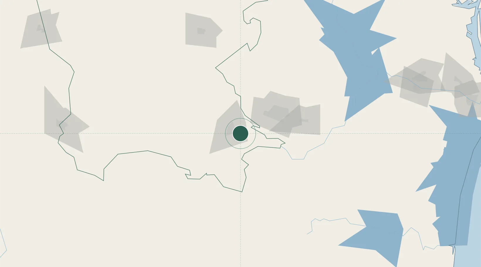
Nearby Logistics Neighbours

Cities
  1. 1Villa de García49 km
  2. 2Garza García53 km
  3. 3San Nicolás de los Garza67 km
  4. 4Cadereyta Jiménez88 km
  5. 5General Terán118 km
Nearest neighbours — logibook spatial index (haversine) over the source coordinates
Ports
  1. 1Brownsville351 km
  2. 2Port Isabel373 km
  3. 3Corpus Christi435 km
  4. 4Altamira446 km
  5. 5Port Ingleside452 km
Nearest neighbours — logibook spatial index (haversine) over the source coordinates
Airports
  1. 1Plan De Guadalupe International Airport16 km
  2. 2Del Norte International Airport79 km
  3. 3Monterrey International Airport85 km
  4. 4Cedros Airport129 km
  5. 5Monclova International Airport182 km
Nearest neighbours — logibook spatial index (haversine) over the source coordinates
Trade Zones
  1. 1FTZ No. 095 Starr County230 km
  2. 2FTZ No. 012 McAllen271 km
  3. 3FTZ No. 094 Laredo274 km
  4. 4FTZ No. 156 Weslaco295 km
  5. 5FTZ No. 157 Casper295 km
Nearest neighbours — logibook spatial index (haversine) over the source coordinates
DatabookThe Record of Consolidated Knowledge
Mexico beyond logistics?
Browse databook

All Sources

LocationsUN/LOCODE
UN/LOCODE — free
LocationsGeoNames
CC BY 4.0
Portsthe NGA World Port Index
Public domain (US gov)
AirportsOurAirports
Public domain
Trade Zonesthe World Bank SEZ database
CC BY 4.0
Trade ZonesOpen Zone Map
CC BY
← Mexico locations