Transport Functions
Road
Multimodal
Hub Profile
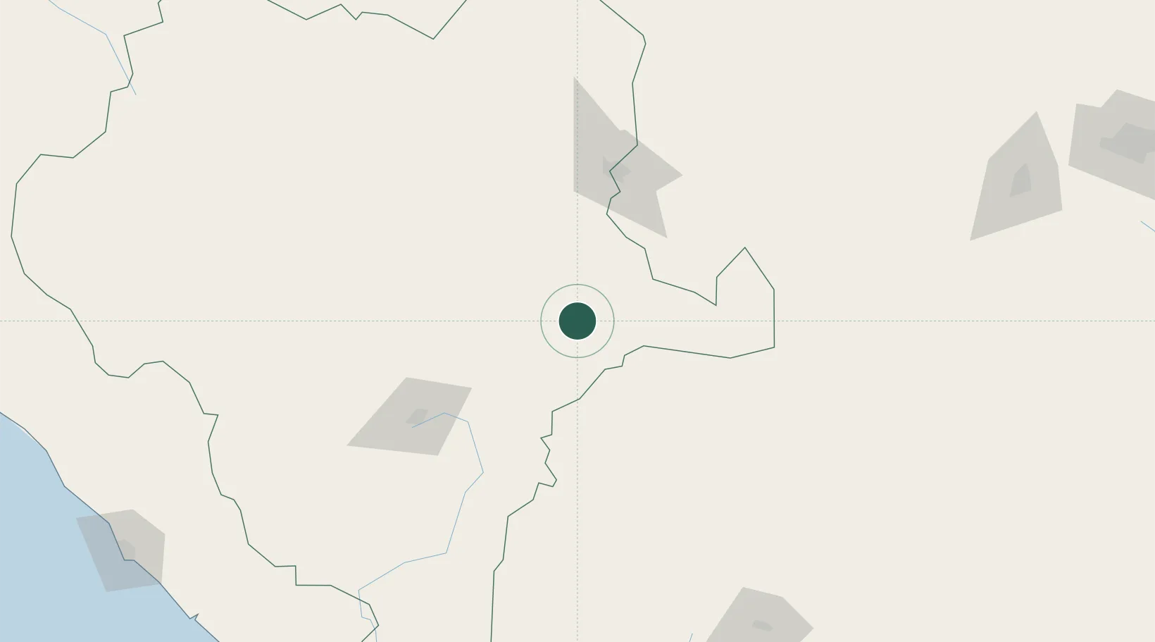
Place type
Populated place
Region
Durango
Population
203
Time zone
America/Monterrey
Elevation
1,672 m
Location
Nearby Logistics Neighbours
Cities
- 1Jalisco102 km
- 2San Pedro144 km
- 3Fresnillo183 km
- 4Santa Teresa264 km
- 5Arteaga299 km
Ports
- 1Mazatlan320 km
- 2Puerto Vallarta475 km
- 3Topolobampo553 km
- 4Manzanillo624 km
- 5Altamira641 km
Airports
Trade Zones
- 1FTZ No. 095 Starr County525 km
- 2FTZ No. 094 Laredo531 km
- 3FTZ No. 096 Eagle Pass551 km
- 4FTZ No. 012 McAllen569 km
- 5FTZ No. 156 Weslaco593 km
DatabookThe Record of Consolidated Knowledge
Mexico beyond logistics?