Small airport · Mexico
Cedros AirportMX-0203
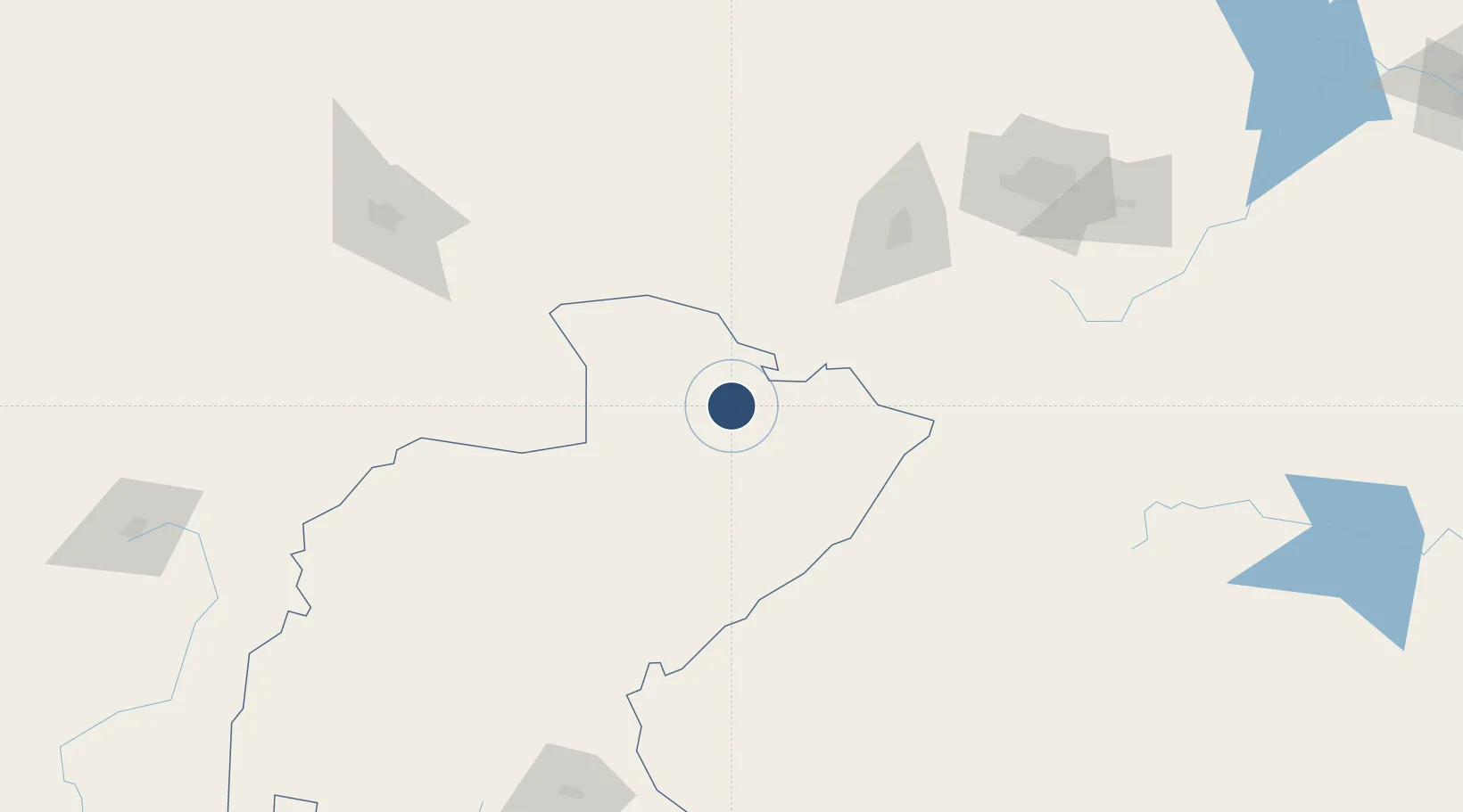
24.6353°, -101.7965°
6,561 ft
Longest runway
1
Runways
5,551 ft
Elevation
Runway & Layout

Radio Frequencies
ATC
122.8 MHz
CEDROS FREQUENCY
Runways · 1
| Runway | Dimensions | Surface | True heading | Lit |
|---|---|---|---|---|
| 06/24 | 6,561 × —ft | Asphalt | — | — |
Airport Specifications
Airport class
Small airport
Scheduled service
Yes
Runway surface
Asphalt
Served city
Mazapil
Location
Nearby Logistics Neighbours
Airports
Cities
- 1Jalisco94 km
- 2Arteaga129 km
- 3San Pedro171 km
- 4Villa de García177 km
- 5Garza García181 km
Ports
- 1Brownsville466 km
- 2Altamira468 km
- 3Tampico483 km
- 4Port Isabel489 km
- 5Mazatlan496 km
Trade Zones
- 1FTZ No. 095 Starr County356 km
- 2FTZ No. 012 McAllen392 km
- 3FTZ No. 094 Laredo399 km
- 4FTZ No. 156 Weslaco415 km
- 5FTZ No. 157 Casper415 km
DatabookThe Record of Consolidated Knowledge
Mexico beyond logistics?