Transport Functions
Rail
Road
Hub Profile
Place type
Urban district
Region
Nuevo León
Time zone
America/Monterrey
Elevation
412 m
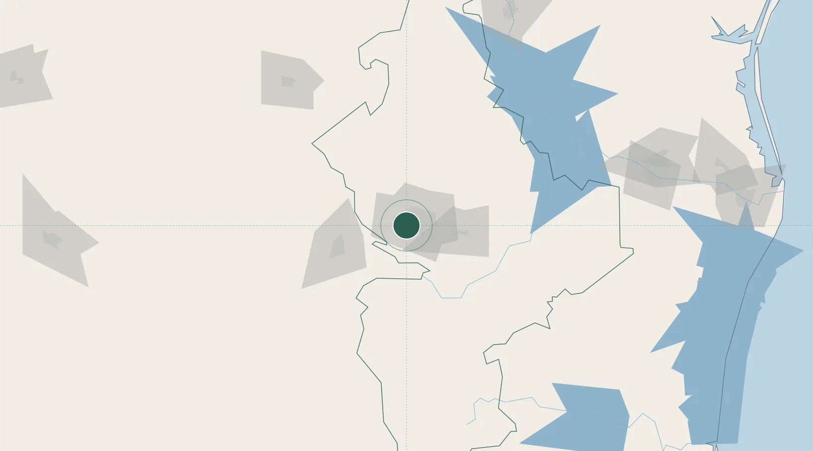
Location
Nearby Logistics Neighbours
Cities
- 1San Nicolás de los Garza14 km
- 2Villa de García25 km
- 3Cadereyta Jiménez41 km
- 4Arteaga53 km
- 5General Terán85 km
Ports
- 1Brownsville302 km
- 2Port Isabel324 km
- 3Corpus Christi382 km
- 4Port Ingleside399 km
- 5Port Aransas411 km
Airports
Trade Zones
- 1FTZ No. 095 Starr County177 km
- 2FTZ No. 012 McAllen220 km
- 3FTZ No. 094 Laredo229 km
- 4FTZ No. 156 Weslaco244 km
- 5FTZ No. 157 Casper244 km
DatabookThe Record of Consolidated Knowledge
Mexico beyond logistics?