Transport Functions
Multimodal
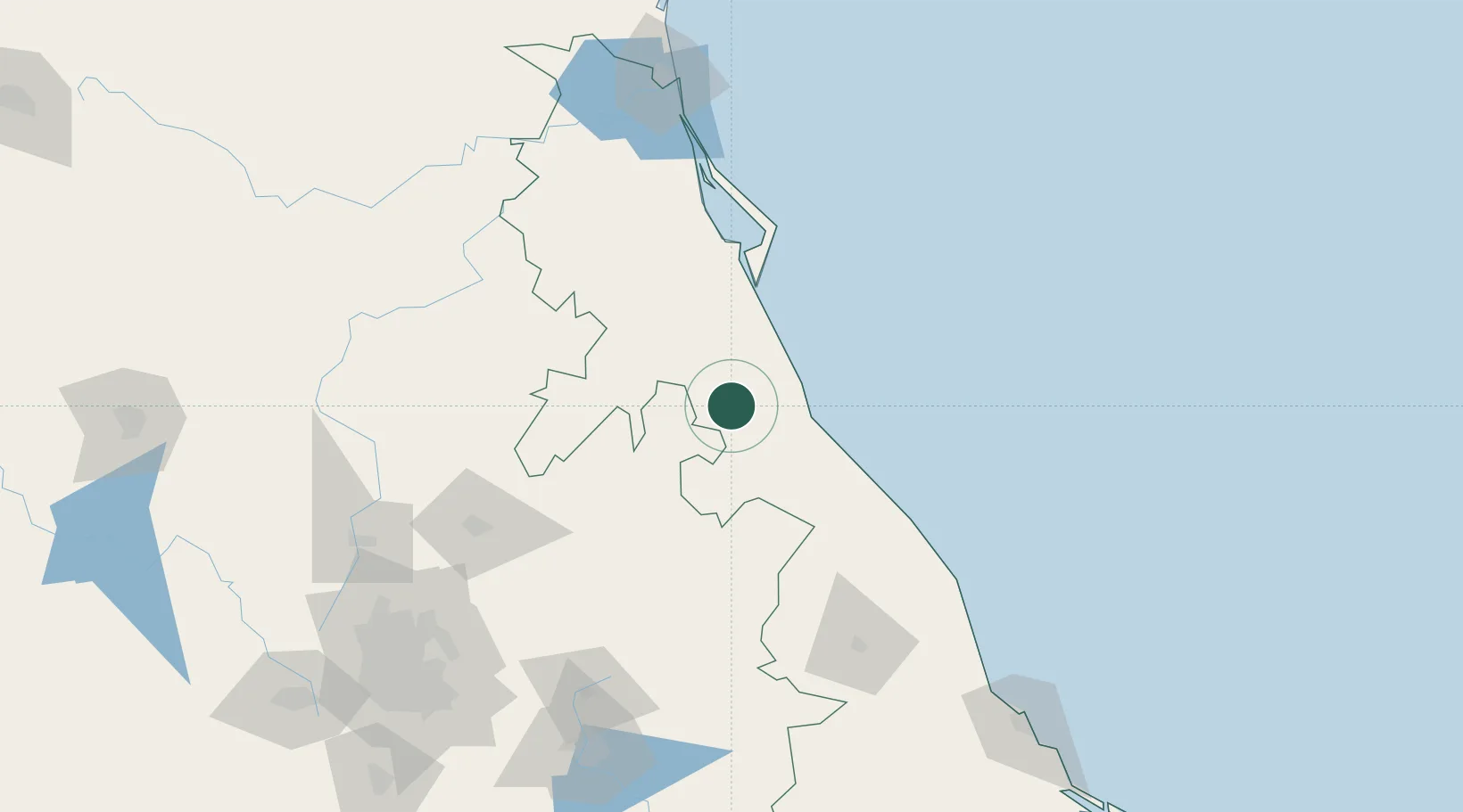
Hub Profile
Place type
Populated place
Region
Veracruz
Population
14,417
Time zone
America/Mexico_City
Elevation
98 m
Location
Nearby Logistics Neighbours
Cities
- 1Tuxpan36 km
- 2Papantla37 km
- 3Temapache42 km
- 4Cuetzalan del Progreso74 km
- 5Nonoalco91 km
Ports
- 1Tuxpan31 km
- 2Tampico172 km
- 3Altamira201 km
- 4Veracruz222 km
- 5Coatzacoalcos433 km
Airports
DatabookThe Record of Consolidated Knowledge
Mexico beyond logistics?