Large airport · Mexico

Felipe Ángeles International AirportMMSM
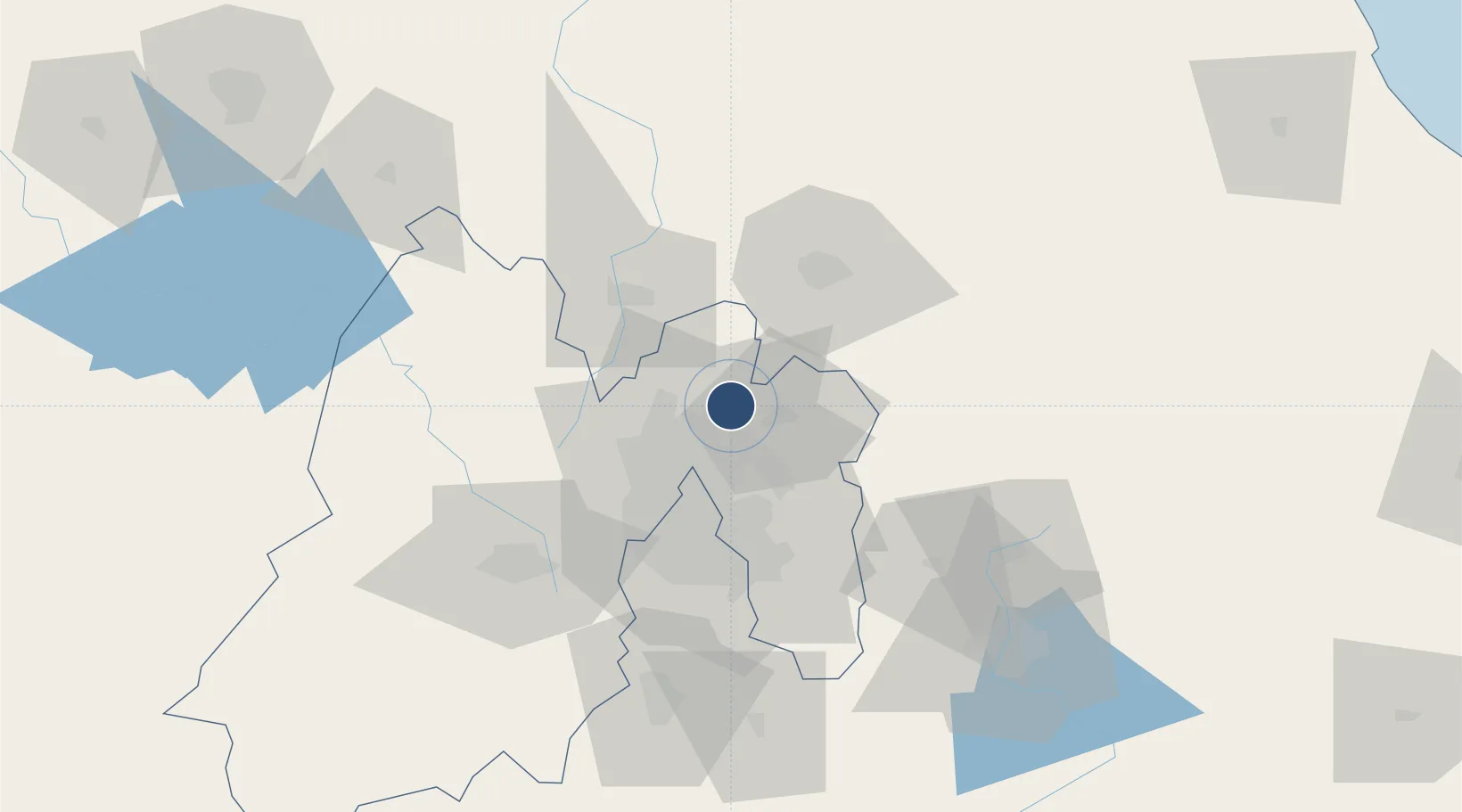
19.7438°, -99.0151°
14,764 ft
Longest runway
3
Runways
7,369 ft
Elevation

Runway & Layout

Felipe Ángeles International Airport runway & taxiway layout
Runway & taxiway layout — OpenStreetMap (ODbL) / OurAirports

Runways · 3

RunwayDimensions SurfaceTrue headingLit
04C/22C 14,764 × 148ft Asphalt / concrete 045°
04L/22R 14,764 × 148ft Asphalt / concrete 045°
04R/22L 11,483 × 148ft Concrete 045°
OurAirports

Airport Specifications

IATA code
NLU
OurAirports
ICAO code
MMSM
OurAirports
Airport class
Large airport
OurAirports
Scheduled service
Yes
OurAirports
Runway surface
Asphalt / concrete
OurAirports
Served city
Mexico City
OurAirports

Location

Location of MMSM
Natural Earth 10m (public domain) · México · MMSM · 19.74, -99.02GoogleOSMYandex

Nearby Logistics Neighbours

Cities
  1. 1Tecamac5 km
  2. 2Ecatepec16 km
  3. 3Acolman18 km
  4. 4Teoloyucan18 km
  5. 5Ciudad de México22 km
Nearest neighbours — logibook spatial index (haversine) over the source coordinates
Ports
  1. 1Tuxpan215 km
  2. 2Tampico300 km
  3. 3Veracruz308 km
  4. 4Altamira328 km
  5. 5Acapulco336 km
Nearest neighbours — logibook spatial index (haversine) over the source coordinates
Trade Zones
  1. 1The Special Economic Zone of Lázaro Cárdenas - La Unión389 km
  2. 2Special Economic Zone of Coatzacoalcos508 km
  3. 3Special Economic Zone of Salina Cruz563 km
  4. 4Zona Economica Especial de Tabasco623 km
  5. 5FTZ No. 062 Brownsville710 km
Nearest neighbours — logibook spatial index (haversine) over the source coordinates
DatabookThe Record of Consolidated Knowledge
Mexico beyond logistics?
Browse databook

All Sources

AirportsOurAirports
Public domain
Portsthe NGA World Port Index
Public domain (US gov)
LocationsUN/LOCODE
UN/LOCODE — free
Trade Zonesthe World Bank SEZ database
CC BY 4.0
Trade ZonesOpen Zone Map
CC BY
InfrastructureOpenStreetMap
ODbL 1.0
← Mexico airports