UN/LOCODE hub · Mexico
MXCDP

Cuetzalan del Progreso

20.0333°, -97.5167°
1
Transport functions

Transport Functions

Multimodal
UN/LOCODE

Hub Profile

Region
PUE
GeoNames

Location

Location of MXCDP
Natural Earth 10m (public domain) · PUE · MXCDP · 20.03, -97.52GoogleOSMYandex

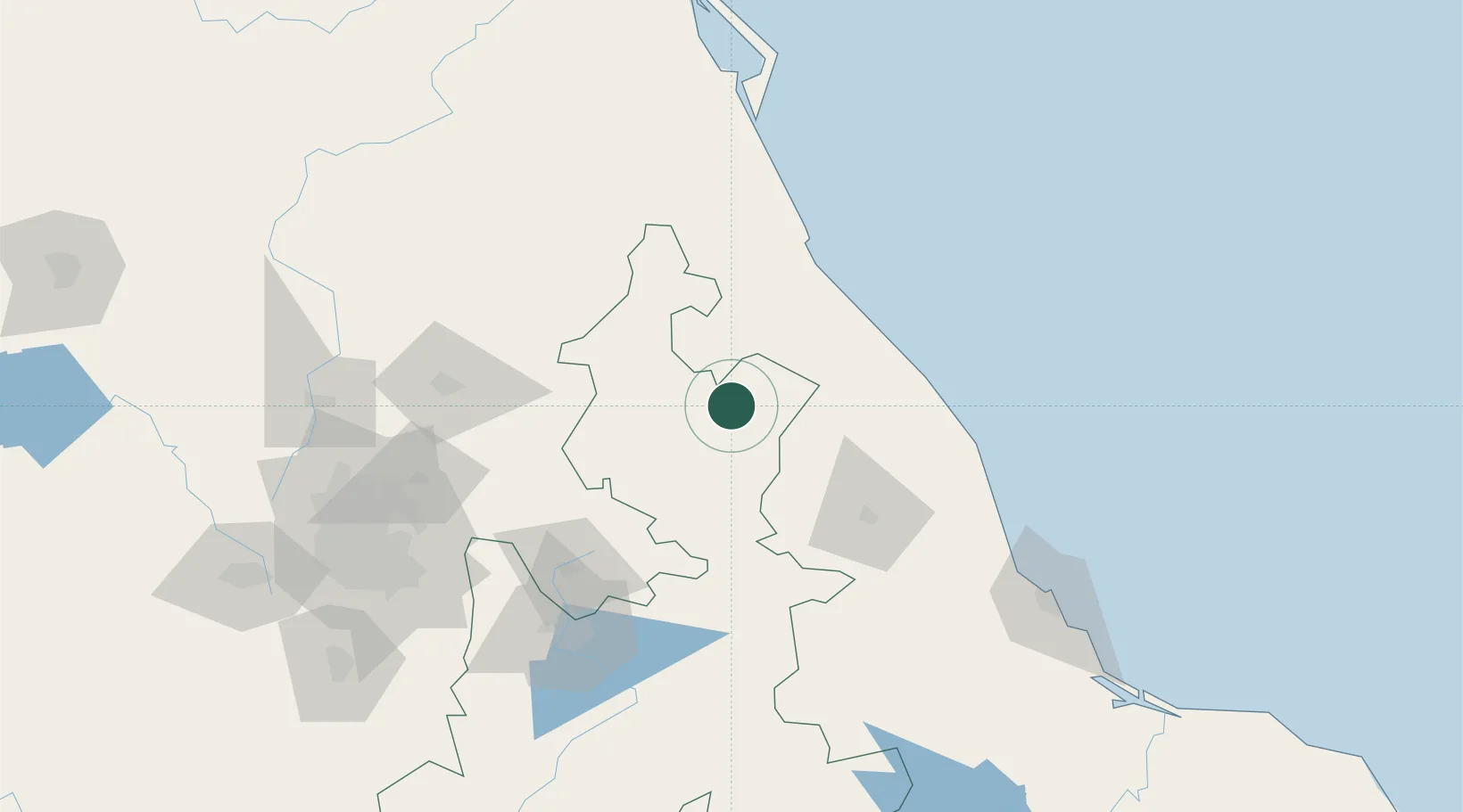
Nearby Logistics Neighbours

Cities
  1. 1Zaragoza30 km
  2. 2Jalacingo34 km
  3. 3Papantla49 km
  4. 4Nonoalco61 km
  5. 5Ahuazotepec66 km
Nearest neighbours — logibook spatial index (haversine) over the source coordinates
Ports
  1. 1Tuxpan103 km
  2. 2Veracruz172 km
  3. 3Tampico246 km
  4. 4Altamira275 km
  5. 5Coatzacoalcos387 km
Nearest neighbours — logibook spatial index (haversine) over the source coordinates
Trade Zones
  1. 1Special Economic Zone of Coatzacoalcos381 km
  2. 2Zona Economica Especial de Tabasco482 km
  3. 3Special Economic Zone of Salina Cruz493 km
  4. 4The Special Economic Zone of Lázaro Cárdenas - La Unión543 km
  5. 5FTZ No. 062 Brownsville658 km
Nearest neighbours — logibook spatial index (haversine) over the source coordinates
DatabookThe Record of Consolidated Knowledge
Mexico beyond logistics?
Browse databook

All Sources

LocationsUN/LOCODE
UN/LOCODE — free
Portsthe NGA World Port Index
Public domain (US gov)
AirportsOurAirports
Public domain
Trade Zonesthe World Bank SEZ database
CC BY 4.0
Trade ZonesOpen Zone Map
CC BY
← Mexico locations