UN/LOCODE hub · Mexico
MXPPT

Papantla

20.4333°, -97.3167°
1
Transport functions

Transport Functions

Multimodal
UN/LOCODE

Hub Profile

Place type
Populated place
GeoNames
Region
Nuevo León
GeoNames
Time zone
America/Monterrey
GeoNames
Elevation
1,887 m
GeoNames

Location

Location of MXPPT
Natural Earth 10m (public domain) · Nuevo León · MXPPT · 20.43, -97.32GoogleOSMYandex

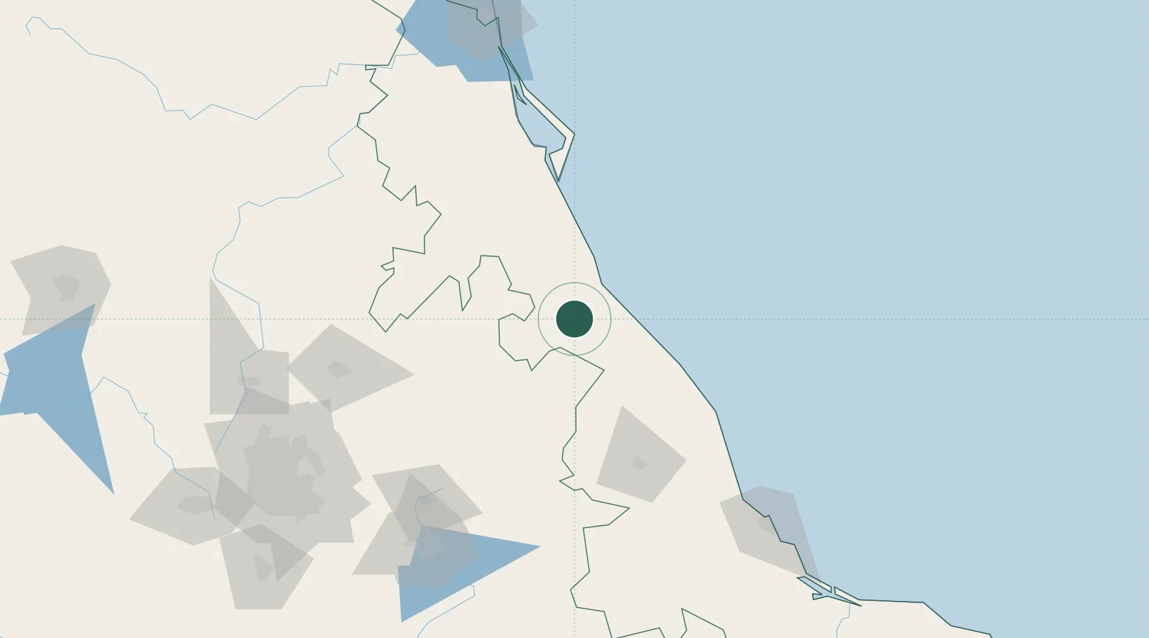
Nearby Logistics Neighbours

Cities
  1. 1Tihuatlán37 km
  2. 2Cuetzalan del Progreso49 km
  3. 3Tuxpan59 km
  4. 4Nautla61 km
  5. 5Jalacingo70 km
Nearest neighbours — logibook spatial index (haversine) over the source coordinates
Ports
  1. 1Tuxpan58 km
  2. 2Veracruz185 km
  3. 3Tampico206 km
  4. 4Altamira235 km
  5. 5Coatzacoalcos396 km
Nearest neighbours — logibook spatial index (haversine) over the source coordinates
Trade Zones
  1. 1Special Economic Zone of Coatzacoalcos391 km
  2. 2Zona Economica Especial de Tabasco481 km
  3. 3Special Economic Zone of Salina Cruz523 km
  4. 4The Special Economic Zone of Lázaro Cárdenas - La Unión581 km
  5. 5FTZ No. 062 Brownsville614 km
Nearest neighbours — logibook spatial index (haversine) over the source coordinates
DatabookThe Record of Consolidated Knowledge
Mexico beyond logistics?
Browse databook

All Sources

LocationsUN/LOCODE
UN/LOCODE — free
Portsthe NGA World Port Index
Public domain (US gov)
AirportsOurAirports
Public domain
Trade Zonesthe World Bank SEZ database
CC BY 4.0
Trade ZonesOpen Zone Map
CC BY
← Mexico locations