Medium airport · Mexico
El Lencero AirportMMJA
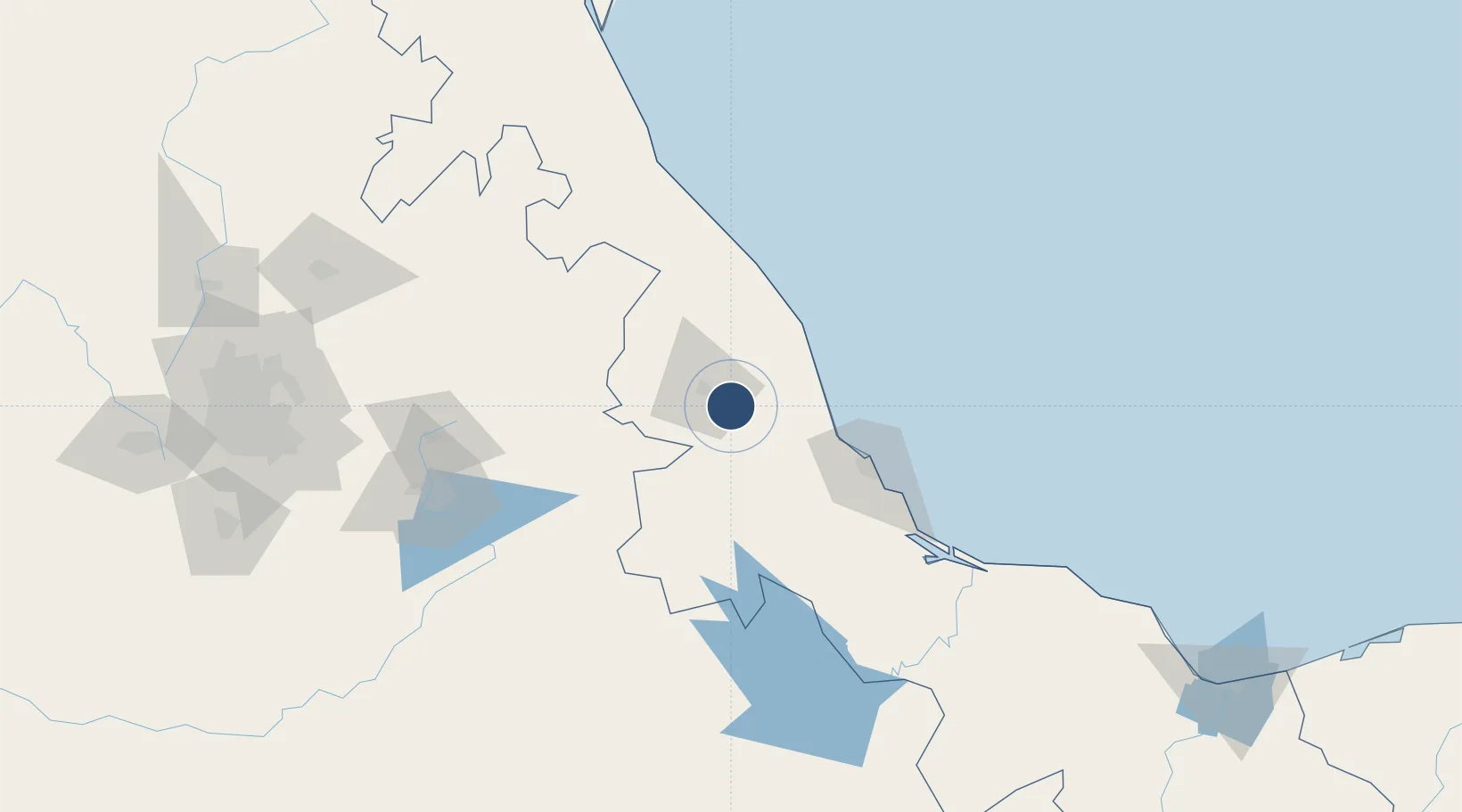
19.4751°, -96.7970°
5,577 ft
Longest runway
1
Runways
3,127 ft
Elevation
Runway & Layout

Radio Frequencies
AFIS
123.3 MHz
JALAPA AFIS
Runways · 1
| Runway | Dimensions | Surface | True heading | Lit |
|---|---|---|---|---|
| 08/26 | 5,577 × 82ft | Asphalt | 086° | ✓ |
Airport Specifications
IATA code
JAL
ICAO code
MMJA
Airport class
Medium airport
Scheduled service
No
Runway surface
Asphalt
Served city
Emiliano Zapata
Location
Nearby Logistics Neighbours
Airports
Cities
- 1Naolinco20 km
- 2Acajete24 km
- 3San Jose Chipila30 km
- 4Jalacingo64 km
- 5Fortin de las Flores64 km
Ports
- 1Veracruz76 km
- 2Tuxpan176 km
- 3Coatzacoalcos291 km
- 4Minatitlan292 km
- 5Nanchital296 km
DatabookThe Record of Consolidated Knowledge
Mexico beyond logistics?