Transport Functions
Road
Multimodal
Hub Profile
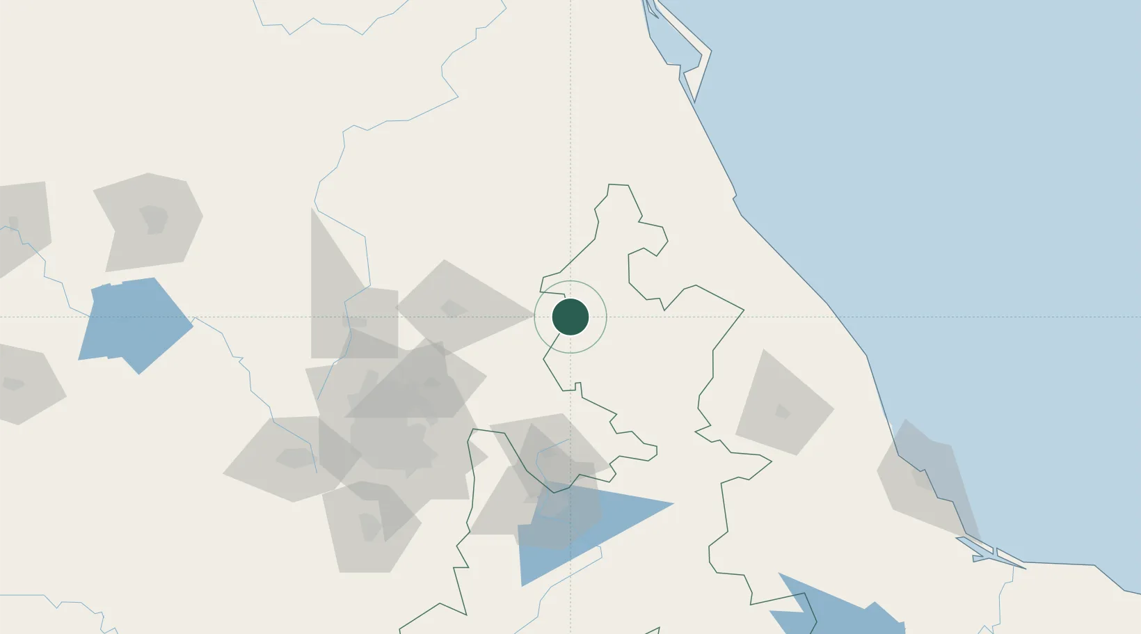
Place type
Populated place
Region
Hidalgo
Population
940
Time zone
America/Mexico_City
Elevation
1,717 m
Location
Nearby Logistics Neighbours
Cities
- 1Ahuazotepec6 km
- 2Acaxochitlán14 km
- 3Cuautepec de Hinojosa22 km
- 4Tulancingo28 km
- 5Ciudad Sahagún60 km
Airports
DatabookThe Record of Consolidated Knowledge
Mexico beyond logistics?