UN/LOCODE hub · Mexico
MXSNT

San Nicolás Tolentino

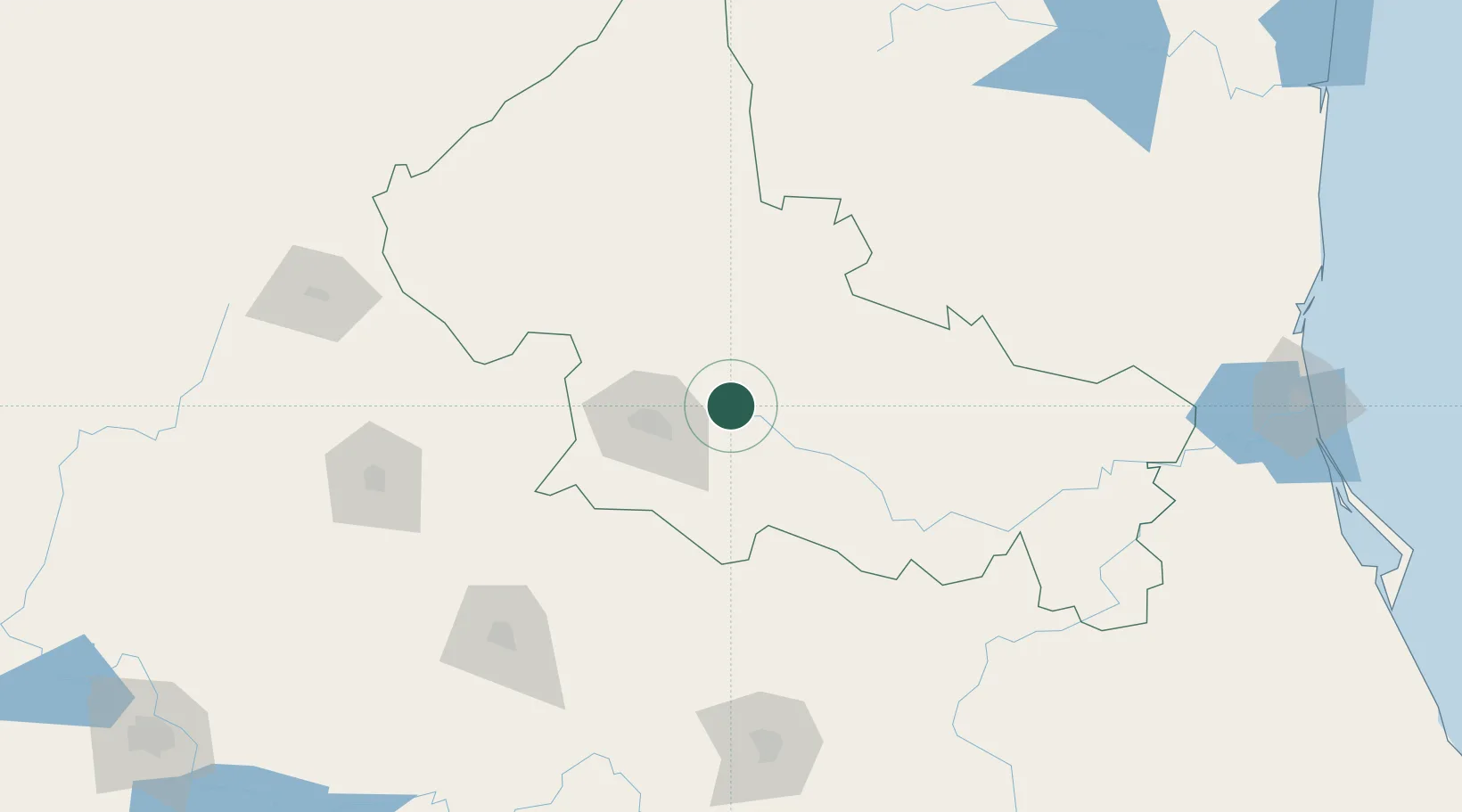
22.2500°, -100.5833°
659
Population
2
Transport functions

Transport Functions

Road
Multimodal
UN/LOCODE

Hub Profile

Place type
Provincial seat
GeoNames
Region
San Luis Potosí
GeoNames
Population
659
GeoNames
Time zone
America/Mexico_City
GeoNames
Elevation
1,465 m
GeoNames

Location

Location of MXSNT
Natural Earth 10m (public domain) · San Luis Potosí · MXSNT · 22.25, -100.58GoogleOSMYandex

Nearby Logistics Neighbours

Cities
  1. 1San Luis Potosí40 km
  2. 2Obregón70 km
  3. 3González111 km
  4. 4Dolores Hidalgo127 km
  5. 5La Purísima136 km
Nearest neighbours — logibook spatial index (haversine) over the source coordinates
Ports
  1. 1Tampico280 km
  2. 2Altamira282 km
  3. 3Tuxpan359 km
  4. 4Lazaro Cardenas508 km
  5. 5Puerto Vallarta518 km
Nearest neighbours — logibook spatial index (haversine) over the source coordinates
Airports
  1. 1Ponciano Arriaga International Airport36 km
  2. 2Guanajuato International Airport168 km
  3. 3Querétaro Intercontinental Airport186 km
  4. 4Aguascalientes International Airport189 km
  5. 5Captain Rogelio Castillo National Airport192 km
Nearest neighbours — logibook spatial index (haversine) over the source coordinates
Trade Zones
  1. 1FTZ No. 095 Starr County493 km
  2. 2FTZ No. 012 McAllen493 km
  3. 3FTZ No. 156 Weslaco506 km
  4. 4FTZ No. 157 Casper506 km
  5. 5The Special Economic Zone of Lázaro Cárdenas - La Unión509 km
Nearest neighbours — logibook spatial index (haversine) over the source coordinates
DatabookThe Record of Consolidated Knowledge
Mexico beyond logistics?
Browse databook

All Sources

LocationsUN/LOCODE
UN/LOCODE — free
LocationsGeoNames
CC BY 4.0
Portsthe NGA World Port Index
Public domain (US gov)
AirportsOurAirports
Public domain
Trade Zonesthe World Bank SEZ database
CC BY 4.0
Trade ZonesOpen Zone Map
CC BY
← Mexico locations