Transport Functions
Multimodal
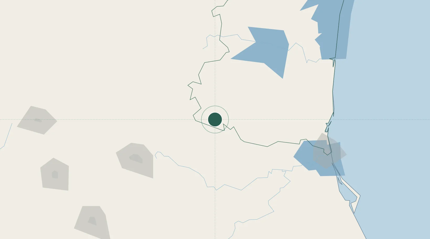
Hub Profile
Place type
Populated place
Region
Tamaulipas
Population
103
Time zone
America/Monterrey
Elevation
370 m
Location
Nearby Logistics Neighbours
Cities
- 1San Nicolás Tolentino111 km
- 2Atizapán de Zaragoza113 km
- 3San Luis Potosí151 km
- 4Barretal154 km
- 5Obregón174 km
Ports
- 1Altamira191 km
- 2Tampico198 km
- 3Tuxpan313 km
- 4Brownsville420 km
- 5Port Isabel443 km
Airports
Trade Zones
- 1FTZ No. 012 McAllen399 km
- 2FTZ No. 095 Starr County407 km
- 3FTZ No. 156 Weslaco409 km
- 4FTZ No. 157 Casper409 km
- 5FTZ No. 062 Brownsville419 km
DatabookThe Record of Consolidated Knowledge
Mexico beyond logistics?