Transport Functions
Road
Multimodal
Hub Profile
Place type
Populated place
Region
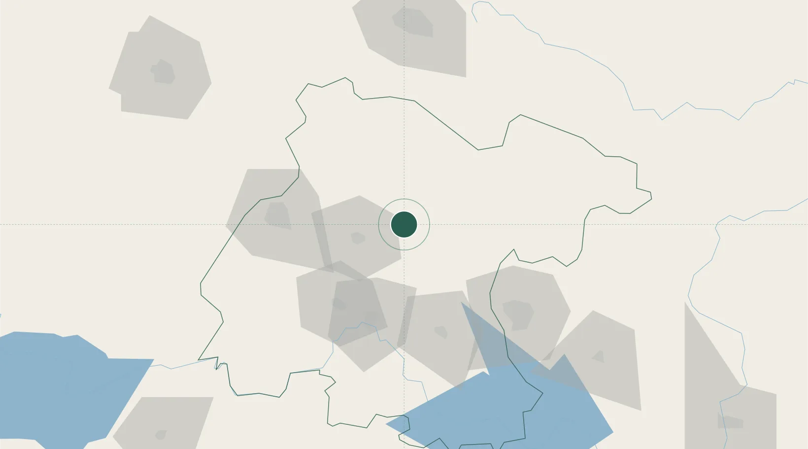
Guanajuato
Population
200
Time zone
America/Mexico_City
Elevation
1,971 m
Location
Nearby Logistics Neighbours
Cities
- 1Dolores Hidalgo12 km
- 2Apaseo el Grande68 km
- 3Celaya68 km
- 4Granjas77 km
- 5El Marques90 km
Ports
- 1Tampico348 km
- 2Altamira361 km
- 3Lazaro Cardenas372 km
- 4Tuxpan376 km
- 5Manzanillo413 km
Airports
Trade Zones
- 1The Special Economic Zone of Lázaro Cárdenas - La Unión373 km
- 2FTZ No. 012 McAllen627 km
- 3FTZ No. 095 Starr County628 km
- 4FTZ No. 156 Weslaco640 km
- 5FTZ No. 157 Casper640 km
DatabookThe Record of Consolidated Knowledge
Mexico beyond logistics?