UN/LOCODE hub · Mexico
MXSLP
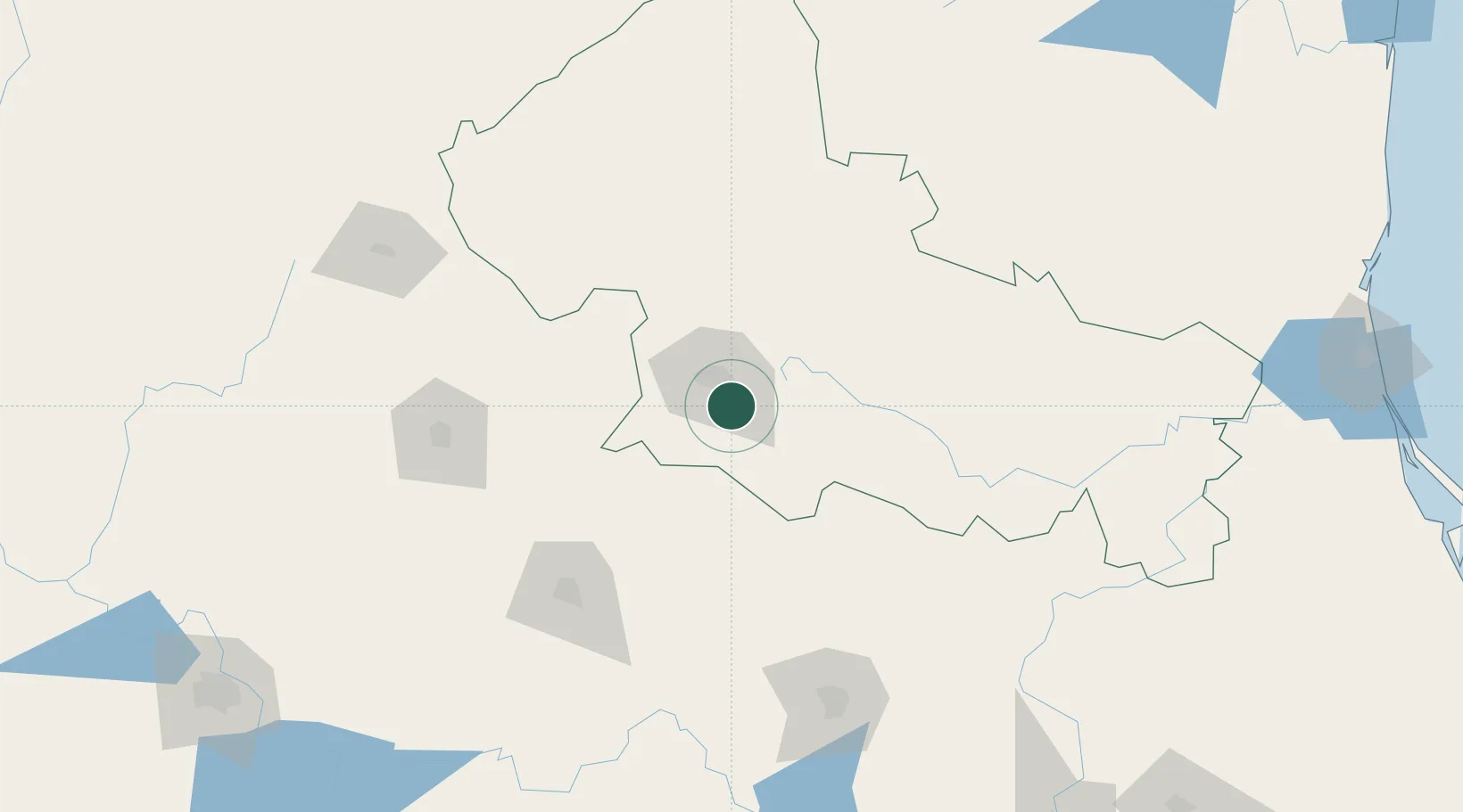
San Luis Potosí
22.0404°, -100.8971°
722,772
Population
3
Transport functions
Transport Functions
Rail
Road
Airport
Hub Profile
Place type
Regional capital
Region
San Luis Potosí
Population
722,772
Time zone
America/Monterrey
Elevation
1,886 m
Logistics facilities
4
Location
Nearby Logistics Neighbours
Cities
- 1San Nicolás Tolentino40 km
- 2Obregón45 km
- 3Dolores Hidalgo99 km
- 4La Purísima105 km
- 5Granjas130 km
Ports
- 1Tampico313 km
- 2Altamira317 km
- 3Tuxpan382 km
- 4Lazaro Cardenas476 km
- 5Puerto Vallarta480 km
Airports
Trade Zones
- 1The Special Economic Zone of Lázaro Cárdenas - La Unión477 km
- 2FTZ No. 095 Starr County526 km
- 3FTZ No. 012 McAllen529 km
- 4FTZ No. 156 Weslaco543 km
- 5FTZ No. 157 Casper543 km
DatabookThe Record of Consolidated Knowledge
Mexico beyond logistics?