Medium airport · Mexico
Captain Rogelio Castillo National AirportMMCY
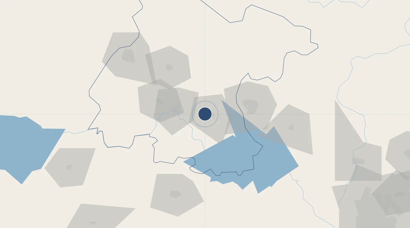
20.5460°, -100.8865°
6,284 ft
Longest runway
1
Runways
5,709 ft
Elevation
Runway & Layout

Radio Frequencies
AFIS
118.4 MHz
Runways · 1
| Runway | Dimensions | Surface | True heading | Lit |
|---|---|---|---|---|
| 08/26 | 6,284 × 98ft | Asphalt | 095° | — |
Airport Specifications
IATA code
CYW
ICAO code
MMCY
Airport class
Medium airport
Scheduled service
No
Runway surface
Asphalt
Served city
Celaya
Location
Nearby Logistics Neighbours
Airports
Cities
- 1Celaya8 km
- 2Apaseo el Grande20 km
- 3Moroleón56 km
- 4El Marques60 km
- 5La Purísima63 km
Ports
- 1Lazaro Cardenas320 km
- 2Tampico364 km
- 3Tuxpan365 km
- 4Altamira381 km
- 5Manzanillo396 km
Trade Zones
- 1The Special Economic Zone of Lázaro Cárdenas - La Unión321 km
- 2FTZ No. 012 McAllen678 km
- 3FTZ No. 095 Starr County682 km
- 4FTZ No. 156 Weslaco689 km
- 5FTZ No. 157 Casper689 km
DatabookThe Record of Consolidated Knowledge
Mexico beyond logistics?